Earthquake Halmahera, Indonesia
Wed, 04 Feb 2026 22:42:49 GMT
Time3 hours ago
Location
1.8162, 127.1102
Depth
30.4 KM
Event Summary
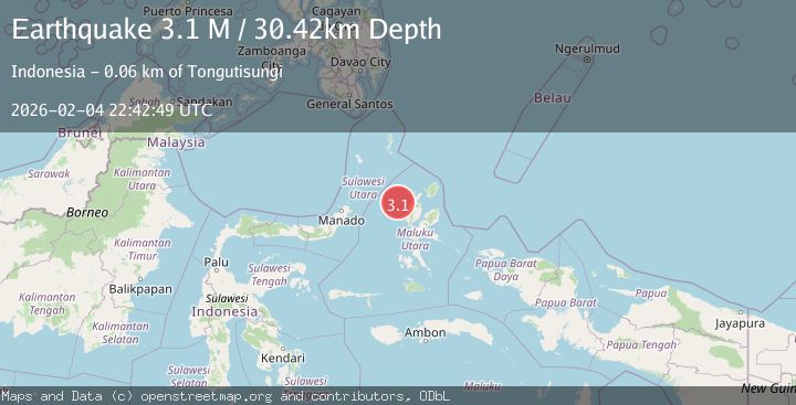
A 3.1 magnitude earthquake struck on Halmahera, Indonesia, at Wed, 04 Feb 2026 22:42:49 GMT. Depth: 30.420464km. Reviewed by BMKG seismologists, this minor quake occurred at a magnitude type of M.
Magnitude
3.1
M
Source
BMKG
Intensity
-
Agency Reports
1 Sources| Source | Magnitude | Depth | Time |
|---|---|---|---|
| BMKGPrimary | 3.1 | 30 km | 3 hours ago |
Earthquake Details
AutomaticEvent IDbmg2026clwb
Tsunami PotentialNo
Magnitude TypeM
Nearest Places
- Nyi33.4 km
- Nusa Sidanga44.9 km
- Nusa Nyaolaka45.2 km
- Nusa Sosota45.7 km
- Kepulauan Loloda Selatan46.4 km
Comments
Join the discussion about this event.
Latest Earthquakes
2.5Mag
Sumbawa Region, Indonesia
Time3 hours ago
Depth40.40 km
SourceBMKG (Automatic)
1.9Mag
33 km W of Empire, Nevada
Time3 hours ago
Depth4.76 km
SourceUSGS (Automatic)
2.1Mag
NEAR THE COAST OF WESTERN TURKEY
Time4 hours ago
Depth6.30 km
SourceKOERI (Automatic)
3.2Mag
SOUTHWEST OF SUMATRA, INDONESIA
Time4 hours ago
Depth61.00 km
SourceBMKG (Automatic)
3.2Mag
Southern Sumatra, Indonesia
Time4 hours ago
Depth25.26 km
SourceBMKG (Automatic)
Nearby Earthquakes
3.9Mag
Halmahera, Indonesia
Time2 weeks ago
Depth10.00 km
SourceBMKG (Automatic)
3.8Mag
Northern Molucca Sea
Time1 week ago
Depth106.66 km
SourceBMKG (Automatic)
3.1Mag
Halmahera, Indonesia
Time13 hours ago
Depth122.31 km
SourceBMKG (Automatic)
3.5Mag
Northern Molucca Sea
Time1 week ago
Depth17.49 km
SourceBMKG (Automatic)
2.9Mag
Northern Molucca Sea
Time2 days ago
Depth24.83 km
SourceBMKG (Automatic)