Earthquake Near North Coast of West Papua
Wed, 04 Feb 2026 14:47:43 GMT
Time1 hour ago
Location
-2.9523, 139.9816
Depth
21.8 KM
Event Summary
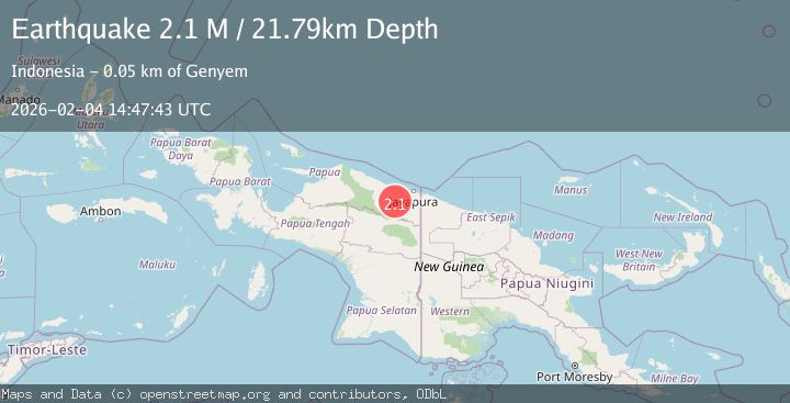
A 2.1 magnitude earthquake struck on Near North Coast of West Papua, at Wed, 04 Feb 2026 14:47:43 GMT. Depth: 21.794924km. Reviewed by BMKG seismologists, this minor quake occurred at a magnitude type of M.
Magnitude
2.1
M
Source
BMKG
Intensity
-
Agency Reports
1 Sources| Source | Magnitude | Depth | Time |
|---|---|---|---|
| BMKGPrimary | 2.1 | 22 km | 1 hour ago |
Earthquake Details
AutomaticEvent IDbmg2026clgk
Tsunami PotentialNo
Magnitude TypeM
Nearest Places
- Kabupaten Jayapura3.5 km
- Sengbo8.2 km
- Kampung Tabbeyan10.3 km
- Kampung Yadauw10.3 km
- Tara10.8 km
Comments
Join the discussion about this event.
Latest Earthquakes
1.3Mag
26 km NW of Ocotillo, CA
Time1 hour ago
Depth10.06 km
SourceUSGS (Automatic)
3.5Mag
OFF E. COAST OF N. ISLAND, N.Z.
Time1 hour ago
Depth243.20 km
SourceGNS (Automatic)
3.1Mag
South of Sumbawa, Indonesia
Time2 hours ago
Depth37.44 km
SourceBMKG (Automatic)
3.0Mag
Northern Sumatra, Indonesia
Time2 hours ago
Depth3.00 km
SourceBMKG (Automatic)
2.2Mag
62 km W of Tyonek, Alaska
Time2 hours ago
Depth113.70 km
SourceUSGS (Automatic)
Nearby Earthquakes
2.4Mag
Near North Coast of West Papua
Time1 week ago
Depth10.00 km
SourceBMKG (Automatic)
2.9Mag
Near North Coast of West Papua
Time1 week ago
Depth25.99 km
SourceBMKG (Automatic)
2.1Mag
West Papua, Indonesia
Time4 days ago
Depth65.29 km
SourceBMKG (Automatic)
2.6Mag
Near North Coast of West Papua
Time6 hours ago
Depth10.00 km
SourceBMKG (Automatic)
2.9Mag
West Papua, Indonesia
Time6 days ago
Depth42.09 km
SourceBMKG (Automatic)