Earthquake Sumba Region, Indonesia
Thu, 05 Feb 2026 08:56:25 GMT
Time1 hour ago
Location
-9.9922, 119.8796
Depth
16.7 KM
Event Summary
A 2.0 magnitude earthquake struck on Sumba Region, Indonesia, at Thu, 05 Feb 2026 08:56:25 GMT. Depth: 16.713146km. Reviewed by BMKG seismologists, this minor quake occurred at a magnitude type of M.
Magnitude
2.0
M
Source
BMKG
Intensity
-
Agency Reports
1 Sources| Source | Magnitude | Depth | Time |
|---|---|---|---|
| BMKGPrimary | 2.0 | 17 km | 1 hour ago |
Earthquake Details
AutomaticEvent IDbmg2026cmqh
Tsunami PotentialNo
Magnitude TypeM
Nearest Places
- Tanjung Watubakul3.5 km
- Palindi Tandulajangga3.6 km
- Tanjung Palindiwatu3.8 km
- Pulau Watubakul4.2 km
- Palindi Lakahi4.5 km
Comments
Join the discussion about this event.
Latest Earthquakes
1.5Mag
4 km W of Cobb, CA
Time1 hour ago
Depth2.06 km
SourceUSGS (Automatic)
3.9Mag
Banda Sea
Time1 hour ago
Depth142.74 km
SourceBMKG (Automatic)
3.0Mag
SALTA, ARGENTINA
Time1 hour ago
Depth187.00 km
SourceNSNA (Automatic)
1.6Mag
SWITZERLAND
Time1 hour ago
Depth2.10 km
SourceETHZ (Automatic)
5.2Mag
EASTERN KAZAKHSTAN
Time1 hour ago
Depth8.00 km
SourceEMSC (Automatic)
Nearby Earthquakes
2.0Mag
Sumba Region, Indonesia
Time5 days ago
Depth23.22 km
SourceBMKG (Automatic)
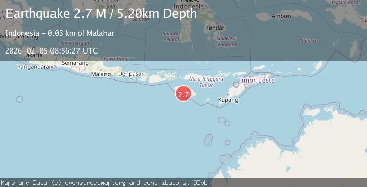
2.7Mag
Sumba Region, Indonesia
Time1 week ago
Depth10.00 km
SourceBMKG (Automatic)
2.9Mag
Sumba Region, Indonesia
Time1 week ago
Depth30.29 km
SourceBMKG (Automatic)
2.6Mag
Sumba Region, Indonesia
Time1 week ago
Depth57.11 km
SourceBMKG (Automatic)
2.8Mag
Sumba Region, Indonesia
Time3 days ago
Depth10.56 km
SourceBMKG (Automatic)