Earthquake Sumba Region, Indonesia
Sun, 01 Feb 2026 18:31:20 GMT
Time3 days ago
Location
-10.2550, 119.4580
Depth
10.6 KM
Event Summary
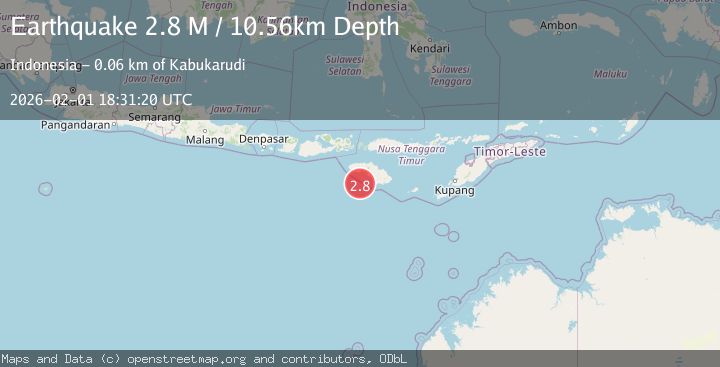
A 2.8 magnitude earthquake struck on Sumba Region, Indonesia, at Sun, 01 Feb 2026 18:31:20 GMT. Depth: 10.561038km. Reviewed by BMKG seismologists, this minor quake occurred at a magnitude type of M.
Magnitude
2.8
M
Source
BMKG
Intensity
-
Agency Reports
1 Sources| Source | Magnitude | Depth | Time |
|---|---|---|---|
| BMKGPrimary | 2.8 | 11 km | 3 days ago |
Earthquake Details
AutomaticEvent IDbmg2026cgbi
Tsunami PotentialNo
Magnitude TypeM
Nearest Places
- Teluk Walakaru51.4 km
- Tanjung Ngunguai51.4 km
- Pulau Bolakamba51.4 km
- Tanjung Kakuang51.4 km
- Tanjung Kadici51.5 km
Comments
Join the discussion about this event.
Latest Earthquakes
3.0Mag
Off West Coast of Northern Sumatra
Time16 hours ago
Depth51.70 km
SourceBMKG (Automatic)
2.4Mag
NORTHERN CALIFORNIA
Time16 hours ago
Depth27.00 km
SourceNC (Automatic)
1.8Mag
4 km ESE of San Ramon, CA
Time16 hours ago
Depth4.41 km
SourceUSGS (Automatic)
1.6Mag
28 km NNE of Nellis Air Force Base, Nevada
Time17 hours ago
Depth4.22 km
SourceUSGS (Automatic)
0.9Mag
WESTERN TURKEY
Time17 hours ago
Depth7.00 km
SourceAFAD (Automatic)
Nearby Earthquakes
2.5Mag
Sumba Region, Indonesia
Time1 week ago
Depth34.19 km
SourceBMKG (Automatic)
2.7Mag
Sumba Region, Indonesia
Time1 week ago
Depth10.00 km
SourceBMKG (Automatic)
2.9Mag
South of Sumbawa, Indonesia
Time4 days ago
Depth123.25 km
SourceBMKG (Automatic)
3.2Mag
Sumba Region, Indonesia
Time2 weeks ago
Depth6.75 km
SourceBMKG (Automatic)
3.9Mag
Sumba Region, Indonesia
Time6 days ago
Depth10.00 km
SourceBMKG (Automatic)