Earthquake Northern Sumatra, Indonesia
Thu, 05 Feb 2026 12:58:21 GMT
Time4 hours ago
Location
2.3561, 98.6500
Depth
6.1 KM
Event Summary
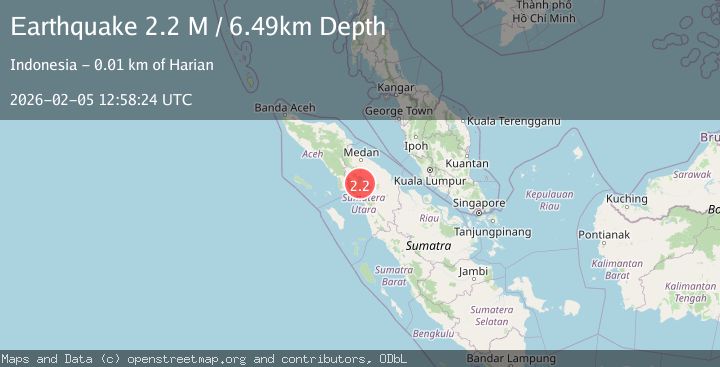
A 2.1 magnitude earthquake struck on Northern Sumatra, Indonesia, at Thu, 05 Feb 2026 12:58:21 GMT. Depth: 6.127231km. Reviewed by BMKG seismologists, this minor quake occurred at a magnitude type of M.
Magnitude
2.1
M
Source
BMKG
Intensity
-
Agency Reports
1 Sources| Source | Magnitude | Depth | Time |
|---|---|---|---|
| BMKGPrimary | 2.1 | 6 km | 4 hours ago |
Earthquake Details
AutomaticEvent IDbmg2026cmyh
Tsunami PotentialNo
Magnitude TypeM
Nearest Places
- Desa Pansurbatu2.8 km
- Desa Pandumaan3.7 km
- Desa Simataniari5.2 km
- Desa Hutapaung Utara5.3 km
- Desa Hutajulu6.1 km
Comments
Join the discussion about this event.
Latest Earthquakes
1.1Mag
15 km W of Toms Place, CA
Time4 hours ago
Depth7.63 km
SourceUSGS (Automatic)
2.3Mag
Sumbawa Region, Indonesia
Time4 hours ago
Depth16.22 km
SourceBMKG (Automatic)
4.7Mag
112 km W of Petrolia, CA
Time5 hours ago
Depth2.50 km
SourceUSGS
2.0Mag
ISLAND OF HAWAII, HAWAII
Time5 hours ago
Depth31.50 km
SourceHV (Automatic)
2.0Mag
CENTRAL TURKEY
Time5 hours ago
Depth5.80 km
SourceKOERI (Automatic)
Nearby Earthquakes
2.7Mag
Northern Sumatra, Indonesia
Time2 weeks ago
Depth8.59 km
SourceBMKG (Automatic)
2.5Mag
Northern Sumatra, Indonesia
Time2 weeks ago
Depth4.40 km
SourceBMKG (Automatic)
2.6Mag
Northern Sumatra, Indonesia
Time10 hours ago
Depth138.44 km
SourceBMKG (Automatic)
2.2Mag
Northern Sumatra, Indonesia
Time1 week ago
Depth11.65 km
SourceBMKG (Automatic)
2.1Mag
Northern Sumatra, Indonesia
Time6 days ago
Depth3.24 km
SourceBMKG (Automatic)