Earthquake Northern Molucca Sea
Thu, 05 Feb 2026 14:57:11 GMT
Time1 week ago
Location
0.3553, 126.7901
Depth
6.6 KM
Event Summary
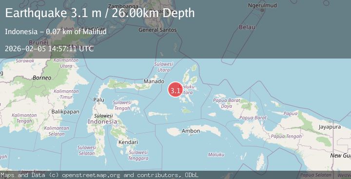
A 3.1 magnitude earthquake struck on Northern Molucca Sea, at Thu, 05 Feb 2026 14:57:11 GMT. Depth: 6.58145km. Reviewed by BMKG seismologists, this minor quake occurred at a magnitude type of M.
Magnitude
3.1
M
Source
BMKG
Intensity
-
Agency Reports
1 Sources| Source | Magnitude | Depth | Time |
|---|---|---|---|
| BMKGPrimary | 3.1 | 26 km | 1 week ago |
Earthquake Details
AutomaticEvent IDbmg2026cncf
Tsunami PotentialNo
Magnitude TypeM
Nearest Places
- Ternate Trough21.1 km
- Terumbugara21.7 km
- Pulau Kotaboa41.6 km
- Pulau Goweba42.3 km
- Pulau Sebawoho42.6 km
Comments
Join the discussion about this event.
Latest Earthquakes
2.4Mag
Northern Sumatra, Indonesia
Time21 hours ago
Depth3.00 km
SourceBMKG
2.7Mag
SAN JUAN, ARGENTINA
Time21 hours ago
Depth96.00 km
SourceNSNA (Automatic)
3.9Mag
near the north coast of Papua, Indonesia
Time21 hours ago
Depth43.09 km
SourceVYT (Automatic)
2.2Mag
Antofagasta, Chile
Time21 hours ago
Depth125.73 km
SourceVYT (Automatic)
2.1Mag
Sumbawa Region, Indonesia
Time21 hours ago
Depth18.83 km
SourceBMKG
Nearby Earthquakes
4.0Mag
MOLUCCA SEA
Time7 years ago
Depth109.00 km
SourceDJA (Automatic)
5.1Mag
MOLUCCA SEA
Time5 years ago
Depth25.00 km
SourceEMSC (Automatic)
3.0Mag
MOLUCCA SEA
Time5 years ago
Depth10.00 km
SourceDJA (Automatic)
5.2Mag
MOLUCCA SEA
Time19 years ago
Depth60.00 km
SourceEMSC (Automatic)
3.1Mag
MOLUCCA SEA
Time1 month ago
Depth11.00 km
SourceBMKG (Automatic)