Earthquake West Papua Region, Indonesia
Fri, 06 Feb 2026 11:40:24 GMT
Time1 hour ago
Location
-1.4676, 135.1290
Depth
10.0 KM
Event Summary
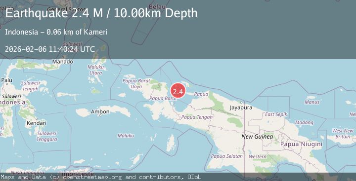
A 2.4 magnitude earthquake struck on West Papua Region, Indonesia, at Fri, 06 Feb 2026 11:40:24 GMT. Depth: 10km. Reviewed by BMKG seismologists, this minor quake occurred at a magnitude type of M.
Magnitude
2.4
M
Source
BMKG
Intensity
-
Agency Reports
1 Sources| Source | Magnitude | Depth | Time |
|---|---|---|---|
| BMKGPrimary | 2.4 | 10 km | 1 hour ago |
Earthquake Details
AutomaticEvent IDbmg2026corf
Tsunami PotentialNo
Magnitude TypeM
Nearest Places
- Kampung Ausem2.9 km
- Pulau Slameapein3.6 km
- Kampung Umpeki4.7 km
- Distrik Pulau Yerui7.8 km
- Selat Sawandeh7.9 km
Comments
Join the discussion about this event.
Latest Earthquakes
2.0Mag
19 km WNW of Susitna, Alaska
Time7 minutes ago
Depth60.10 km
SourceUSGS (Automatic)
1.4Mag
57 km E of Egegik, Alaska
Time14 minutes ago
Depth17.70 km
SourceUSGS (Automatic)
2.6Mag
WESTERN TURKEY
Time17 minutes ago
Depth5.30 km
SourceKOERI (Automatic)
2.5Mag
NEAR SOUTH COAST OF FRANCE
Time20 minutes ago
Depth5.00 km
SourceReNaSS (Automatic)
2.4Mag
Java, Indonesia
Time22 minutes ago
Depth52.32 km
SourceBMKG (Automatic)
Nearby Earthquakes
2.4Mag
West Papua Region, Indonesia
Time1 week ago
Depth10.00 km
SourceBMKG (Automatic)
2.8Mag
West Papua Region, Indonesia
Time1 week ago
Depth10.00 km
SourceBMKG (Automatic)
3.3Mag
West Papua Region, Indonesia
Time1 week ago
Depth33.19 km
SourceBMKG (Automatic)
2.5Mag
West Papua Region, Indonesia
Time1 week ago
Depth32.44 km
SourceBMKG (Automatic)
3.4Mag
West Papua Region, Indonesia
Time1 week ago
Depth10.00 km
SourceBMKG (Automatic)