Earthquake West Papua Region, Indonesia
Sat, 24 Jan 2026 12:06:36 GMT
Time3 days ago
Location
-1.4582, 134.6869
Depth
10.0 KM
Event Summary
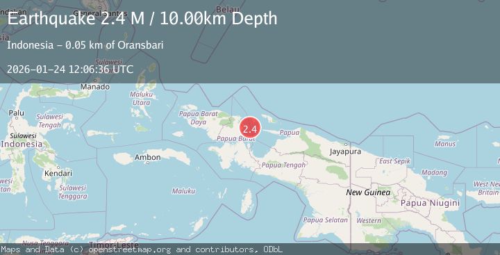
A 2.4 magnitude earthquake struck on West Papua Region, Indonesia, at Sat, 24 Jan 2026 12:06:36 GMT. Depth: 10km. Reviewed by BMKG seismologists, this minor quake occurred at a magnitude type of M.
Magnitude
2.4
M
Source
BMKG
Intensity
-
Agency Reports
1 Sources| Source | Magnitude | Depth | Time |
|---|---|---|---|
| BMKGPrimary | 2.4 | 10 km | 3 days ago |
Earthquake Details
AutomaticEvent IDbmg2026bqyo
Tsunami PotentialNo
Magnitude TypeM
Nearest Places
- Woinui Sorenia33.8 km
- Pulau Sewandeh36.6 km
- Tanjung Aikar40.0 km
- Pulau Manim41.2 km
- Teluk Mansyokidori41.3 km
Comments
Join the discussion about this event.
Latest Earthquakes
2.3Mag
57 km E of Pedro Bay, Alaska
Time3 minutes ago
Depth120.40 km
SourceUSGS (Automatic)
2.3Mag
Bali Sea
Time4 minutes ago
Depth13.31 km
SourceBMKG (Automatic)
1.9Mag
97 km S of Kokhanok, Alaska
Time9 minutes ago
Depth5.00 km
SourceUSGS (Automatic)
1.5Mag
27 km WNW of Ludlow, CA
Time13 minutes ago
Depth2.32 km
SourceUSGS (Automatic)
1.3Mag
52 km S of Glacier View, Alaska
Time17 minutes ago
Depth5.00 km
SourceUSGS (Automatic)
Nearby Earthquakes
2.8Mag
West Papua Region, Indonesia
Time2 days ago
Depth10.00 km
SourceBMKG (Automatic)
2.5Mag
West Papua Region, Indonesia
Time11 hours ago
Depth32.44 km
SourceBMKG (Automatic)
3.4Mag
West Papua Region, Indonesia
Time4 hours ago
Depth10.00 km
SourceBMKG (Automatic)
2.5Mag
West Papua Region, Indonesia
Time3 days ago
Depth12.18 km
SourceBMKG (Automatic)
3.2Mag
West Papua Region, Indonesia
Time3 days ago
Depth21.74 km
SourceBMKG (Automatic)