Earthquake West Papua Region, Indonesia
Fri, 06 Feb 2026 22:39:26 GMT
Time1 hour ago
Location
-0.9475, 134.4587
Depth
20.3 KM
Event Summary
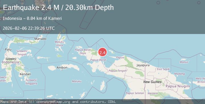
A 2.4 magnitude earthquake struck on West Papua Region, Indonesia, at Fri, 06 Feb 2026 22:39:26 GMT. Depth: 20.300169km. Reviewed by BMKG seismologists, this minor quake occurred at a magnitude type of M.
Magnitude
2.4
M
Source
BMKG
Intensity
-
Agency Reports
1 Sources| Source | Magnitude | Depth | Time |
|---|---|---|---|
| BMKGPrimary | 2.4 | 20 km | 1 hour ago |
Earthquake Details
AutomaticEvent IDbmg2026cpmy
Tsunami PotentialNo
Magnitude TypeM
Nearest Places
- Woinui Sorenia29.0 km
- Pulau Memupuri36.2 km
- Tanjung Memori37.0 km
- Kampung Bakaro37.3 km
- Kampung Arowi38.1 km
Comments
Join the discussion about this event.
Latest Earthquakes
3.0Mag
STRAIT OF GIBRALTAR
Time16 minutes ago
Depth13.40 km
SourceIGN (Automatic)
2.1Mag
66 km N of Petersville, Alaska
Time17 minutes ago
Depth114.50 km
SourceUSGS (Automatic)
1.4Mag
10 km SW of Clear Creek, Utah
Time36 minutes ago
Depth-3.42 km
SourceUSGS
3.1Mag
ICELAND REGION
Time36 minutes ago
Depth10.00 km
SourceIMO (Automatic)
2.6Mag
Sumba Region, Indonesia
Time37 minutes ago
Depth46.11 km
SourceBMKG (Automatic)
Nearby Earthquakes
3.4Mag
West Papua Region, Indonesia
Time1 week ago
Depth10.00 km
SourceBMKG (Automatic)
2.8Mag
West Papua Region, Indonesia
Time1 week ago
Depth10.00 km
SourceBMKG (Automatic)
2.5Mag
West Papua Region, Indonesia
Time1 week ago
Depth32.44 km
SourceBMKG (Automatic)
2.5Mag
West Papua Region, Indonesia
Time2 weeks ago
Depth12.18 km
SourceBMKG (Automatic)
2.0Mag
West Papua Region, Indonesia
Time5 days ago
Depth10.00 km
SourceBMKG (Automatic)