Earthquake Sumba Region, Indonesia
Fri, 06 Feb 2026 23:29:39 GMT
Time1 hour ago
Location
-9.8143, 119.6080
Depth
46.1 KM
Event Summary
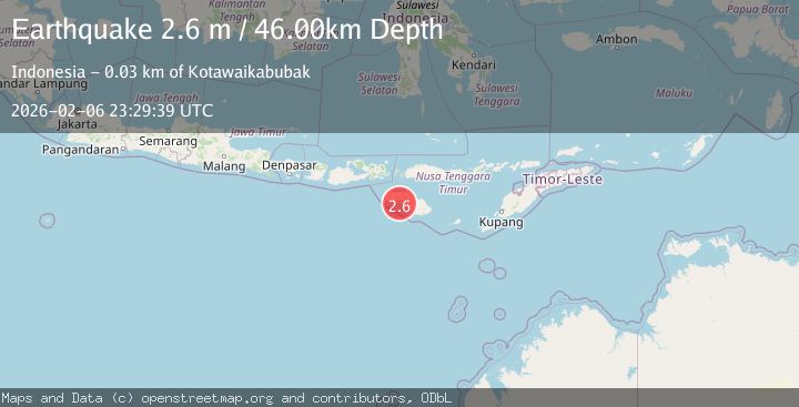
A 2.6 magnitude earthquake struck on Sumba Region, Indonesia, at Fri, 06 Feb 2026 23:29:39 GMT. Depth: 46.113659km. Reviewed by BMKG seismologists, this minor quake occurred at a magnitude type of M.
Magnitude
2.6
M
Source
BMKG
Intensity
-
Agency Reports
1 Sources| Source | Magnitude | Depth | Time |
|---|---|---|---|
| BMKGPrimary | 2.6 | 46 km | 1 hour ago |
Earthquake Details
AutomaticEvent IDbmg2026cpop
Tsunami PotentialNo
Magnitude TypeM
Nearest Places
- Tanjung Laikamemi2.3 km
- Tamma Tapaji2.6 km
- Tanjung Tapaj2.8 km
- Teluk Tasapi3.1 km
- Tanjung Laroga3.5 km
Comments
Join the discussion about this event.
Latest Earthquakes
1.1Mag
12 km N of Banning, CA
Time7 minutes ago
Depth12.38 km
SourceUSGS (Automatic)
1.6Mag
10 km WSW of Big Lake, Alaska
Time8 minutes ago
Depth28.40 km
SourceUSGS (Automatic)
3.4Mag
LA RIOJA, ARGENTINA
Time16 minutes ago
Depth128.00 km
SourceNSNA (Automatic)
1.7Mag
13 km ENE of Marfa, Texas
Time23 minutes ago
Depth0.00 km
SourceUSGS (Automatic)
1.7Mag
8 km NE of Julian, CA
Time24 minutes ago
Depth11.80 km
SourceUSGS (Automatic)
Nearby Earthquakes
2.7Mag
Sumba Region, Indonesia
Time1 week ago
Depth10.00 km
SourceBMKG (Automatic)
2.7Mag
Sumba Region, Indonesia
Time1 day ago
Depth5.20 km
SourceBMKG (Automatic)
2.9Mag
Sumba Region, Indonesia
Time1 week ago
Depth30.29 km
SourceBMKG (Automatic)
2.0Mag
Sumba Region, Indonesia
Time1 week ago
Depth23.22 km
SourceBMKG (Automatic)
2.5Mag
Sumba Region, Indonesia
Time1 week ago
Depth22.63 km
SourceBMKG (Automatic)