Earthquake Southern Sumatra, Indonesia
Fri, 06 Feb 2026 23:16:14 GMT
Time1 hour ago
Location
-5.3400, 104.3674
Depth
3.6 KM
Event Summary
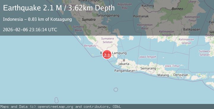
A 2.1 magnitude earthquake struck on Southern Sumatra, Indonesia, at Fri, 06 Feb 2026 23:16:14 GMT. Depth: 3.622392km. Reviewed by BMKG seismologists, this minor quake occurred at a magnitude type of M.
Magnitude
2.1
M
Source
BMKG
Intensity
-
Agency Reports
1 Sources| Source | Magnitude | Depth | Time |
|---|---|---|---|
| BMKGPrimary | 2.1 | 4 km | 1 hour ago |
Earthquake Details
AutomaticEvent IDbmg2026cpoe
Tsunami PotentialNo
Magnitude TypeM
Nearest Places
- Desa Sidorejo0.7 km
- Umbulsano2.5 km
- Umbulkuyung2.9 km
- Umbulbatutampah3.3 km
- Umbulpring3.4 km
Comments
Join the discussion about this event.
Latest Earthquakes
1.1Mag
12 km N of Banning, CA
Time7 minutes ago
Depth12.38 km
SourceUSGS (Automatic)
1.6Mag
10 km WSW of Big Lake, Alaska
Time8 minutes ago
Depth28.40 km
SourceUSGS (Automatic)
3.4Mag
LA RIOJA, ARGENTINA
Time16 minutes ago
Depth128.00 km
SourceNSNA (Automatic)
1.7Mag
13 km ENE of Marfa, Texas
Time23 minutes ago
Depth0.00 km
SourceUSGS (Automatic)
1.7Mag
8 km NE of Julian, CA
Time24 minutes ago
Depth11.80 km
SourceUSGS (Automatic)
Nearby Earthquakes
3.8Mag
Southern Sumatra, Indonesia
Time4 days ago
Depth10.00 km
SourceBMKG (Automatic)
2.1Mag
Southern Sumatra, Indonesia
Time4 days ago
Depth15.65 km
SourceBMKG (Automatic)
2.3Mag
Southern Sumatra, Indonesia
Time2 days ago
Depth15.95 km
SourceBMKG (Automatic)
2.0Mag
Southern Sumatra, Indonesia
Time1 week ago
Depth10.00 km
SourceBMKG (Automatic)
2.5Mag
Southern Sumatra, Indonesia
Time1 week ago
Depth10.48 km
SourceBMKG (Automatic)