Earthquake 12 km N of Banning, CA
Sat, 07 Feb 2026 00:59:06 GMT
Time1 hour ago
Location
34.0362, -116.8685
Depth
12.4 KM
Event Summary
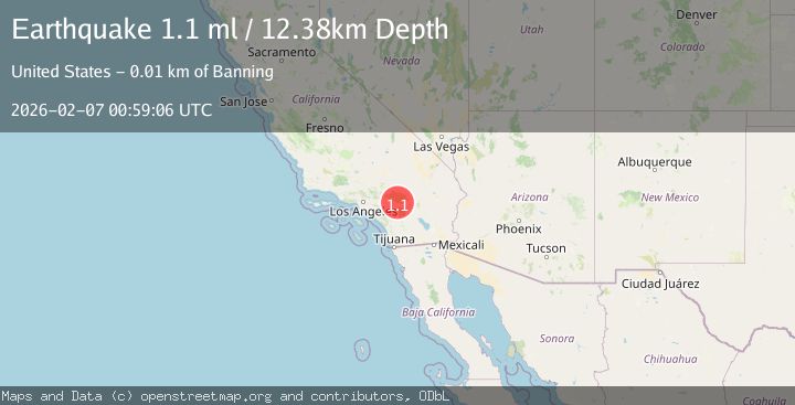
A 1.1 magnitude earthquake struck on 12 km N of Banning, CA, at Sat, 07 Feb 2026 00:59:06 GMT. Depth: 12.3800001144409km. Reviewed by USGS seismologists, this minor quake occurred at a magnitude type of ml.
Magnitude
1.1
ml
Source
USGS
Intensity
-
Agency Reports
1 Sources| Source | Magnitude | Depth | Time |
|---|---|---|---|
| USGSPrimary | 1.1 | 12 km | 1 hour ago |
Earthquake Details
AutomaticEvent IDusgs_ci41393224
Tsunami PotentialNo
Magnitude Typeml
Nearest Places
- Big Oaks Canyon1.1 km
- Big Oaks Powerhouse1.2 km
- Burnt Canyon1.6 km
- Sawmill Canyon1.6 km
- Gilman Canyon2.8 km
Comments
Join the discussion about this event.
Latest Earthquakes
1.8Mag
100 km N of Yakutat, Alaska
Time10 minutes ago
Depth1.00 km
SourceUSGS
1.9Mag
53 km W of Mentone, Texas
Time15 minutes ago
Depth3.83 km
SourceUSGS (Automatic)
2.9Mag
200 km SSE of Akutan, Alaska
Time19 minutes ago
Depth2.00 km
SourceUSGS
2.3Mag
PUERTO RICO
Time32 minutes ago
Depth12.70 km
SourcePR (Automatic)
2.5Mag
Flores Region, Indonesia
Time35 minutes ago
Depth77.61 km
SourceBMKG (Automatic)
Nearby Earthquakes
1.4Mag
8 km NNE of Banning, CA
Time1 week ago
Depth12.57 km
SourceUSGS (Automatic)
1.1Mag
6 km NNE of Banning, CA
Time1 week ago
Depth8.23 km
SourceUSGS (Automatic)
2.1Mag
8 km NNE of Beaumont, CA
Time5 days ago
Depth6.78 km
SourceUSGS (Automatic)
1.4Mag
7 km NNE of Beaumont, CA
Time1 week ago
Depth8.31 km
SourceUSGS (Automatic)
1.3Mag
2 km NNW of Banning, CA
Time6 days ago
Depth9.62 km
SourceUSGS (Automatic)