Earthquake Northern Sumatra, Indonesia
Sat, 07 Feb 2026 04:59:39 GMT
Time1 hour ago
Location
2.3456, 96.8929
Depth
12.1 KM
Event Summary
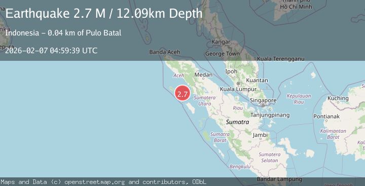
A 2.7 magnitude earthquake struck on Northern Sumatra, Indonesia, at Sat, 07 Feb 2026 04:59:39 GMT. Depth: 12.093106km. Reviewed by BMKG seismologists, this minor quake occurred at a magnitude type of M.
Magnitude
2.7
M
Source
BMKG
Intensity
-
Agency Reports
1 Sources| Source | Magnitude | Depth | Time |
|---|---|---|---|
| BMKGPrimary | 2.7 | 12 km | 1 hour ago |
Earthquake Details
AutomaticEvent IDbmg2026cpzm
Tsunami PotentialNo
Magnitude TypeM
Nearest Places
- Karang Suffolk28.1 km
- Ujung Silingar28.4 km
- Gosong Punaga30.0 km
- Ujung Anabahan30.8 km
- Gosong Madangkati31.4 km
Comments
Join the discussion about this event.
Latest Earthquakes
2.2Mag
Northern Sumatra, Indonesia
Time3 minutes ago
Depth5.00 km
SourceBMKG (Automatic)
2.5Mag
WESTERN TURKEY
Time14 minutes ago
Depth7.70 km
SourceAFAD (Automatic)
2.1Mag
WESTERN TURKEY
Time26 minutes ago
Depth7.10 km
SourceAFAD (Automatic)
1.9Mag
8 km NNE of Cooper Landing, Alaska
Time27 minutes ago
Depth36.50 km
SourceUSGS (Automatic)
2.4Mag
Sulawesi, Indonesia
Time38 minutes ago
Depth5.00 km
SourceBMKG (Automatic)
Nearby Earthquakes
2.7Mag
Northern Sumatra, Indonesia
Time1 week ago
Depth8.31 km
SourceBMKG (Automatic)
2.0Mag
Northern Sumatra, Indonesia
Time20 hours ago
Depth10.50 km
SourceBMKG (Automatic)
2.1Mag
Northern Sumatra, Indonesia
Time3 days ago
Depth26.66 km
SourceBMKG (Automatic)
4.4Mag
Northern Sumatra, Indonesia
Time1 week ago
Depth10.00 km
SourceBMKG (Automatic)
4.8Mag
Off West Coast of Northern Sumatra
Time1 week ago
Depth19.15 km
SourceBMKG (Automatic)