Earthquake Sumba Region, Indonesia
Sat, 07 Feb 2026 05:11:38 GMT
Time1 hour ago
Location
-9.0246, 119.2048
Depth
10.0 KM
Event Summary
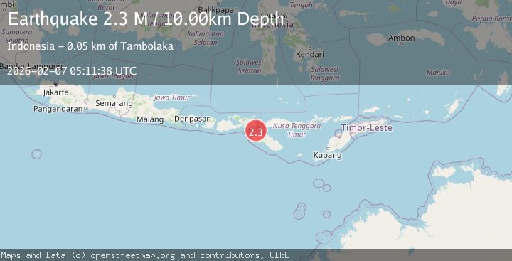
A 2.3 magnitude earthquake struck on Sumba Region, Indonesia, at Sat, 07 Feb 2026 05:11:38 GMT. Depth: 10km. Reviewed by BMKG seismologists, this minor quake occurred at a magnitude type of M.
Magnitude
2.3
M
Source
BMKG
Intensity
-
Agency Reports
1 Sources| Source | Magnitude | Depth | Time |
|---|---|---|---|
| BMKGPrimary | 2.3 | 10 km | 1 hour ago |
Earthquake Details
AutomaticEvent IDbmg2026cpzx
Tsunami PotentialNo
Magnitude TypeM
Nearest Places
- Selat Sumba5.7 km
- Toro Rata31.4 km
- Tano Nggelu32.0 km
- Lutu Tinam32.6 km
- Toro Bebula33.6 km
Comments
Join the discussion about this event.
Latest Earthquakes
0.9Mag
13 km NW of The Geysers, CA
Time2 minutes ago
Depth2.42 km
SourceUSGS (Automatic)
1.0Mag
5 km S of Loyola, CA
Time11 minutes ago
Depth7.28 km
SourceUSGS (Automatic)
3.3Mag
SALTA, ARGENTINA
Time12 minutes ago
Depth232.50 km
SourceCSN (Automatic)
2.5Mag
Northern Sumatra, Indonesia
Time21 minutes ago
Depth5.00 km
SourceBMKG (Automatic)
2.2Mag
Northern Sumatra, Indonesia
Time22 minutes ago
Depth5.00 km
SourceBMKG (Automatic)
Nearby Earthquakes
2.8Mag
Sumba Region, Indonesia
Time1 week ago
Depth81.65 km
SourceBMKG (Automatic)
2.6Mag
Sumba Region, Indonesia
Time1 week ago
Depth51.36 km
SourceBMKG (Automatic)
2.4Mag
Flores Region, Indonesia
Time2 weeks ago
Depth10.00 km
SourceBMKG (Automatic)
3.0Mag
Sumba Region, Indonesia
Time1 week ago
Depth29.13 km
SourceBMKG (Automatic)
2.2Mag
Sumbawa Region, Indonesia
Time1 day ago
Depth18.62 km
SourceBMKG (Automatic)