Earthquake Minahassa Peninsula, Sulawesi
Sat, 07 Feb 2026 17:31:44 GMT
Time1 hour ago
Location
0.5796, 121.9717
Depth
184.0 KM
Event Summary
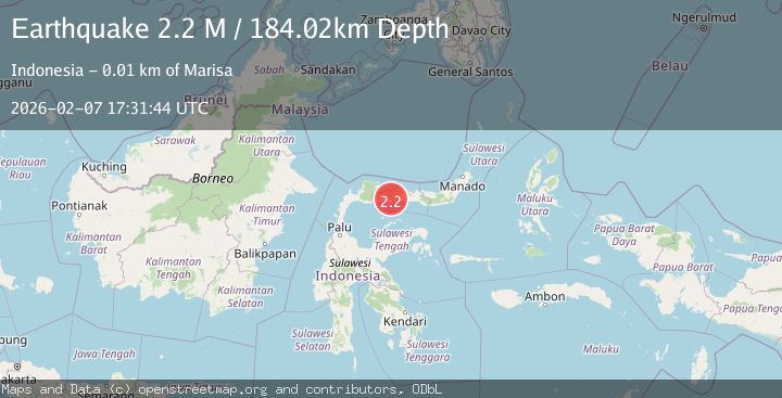
A 2.2 magnitude earthquake struck on Minahassa Peninsula, Sulawesi, at Sat, 07 Feb 2026 17:31:44 GMT. Depth: 184.02269km. Reviewed by BMKG seismologists, this minor quake occurred at a magnitude type of M.
Magnitude
2.2
M
Source
BMKG
Intensity
-
Agency Reports
1 Sources| Source | Magnitude | Depth | Time |
|---|---|---|---|
| BMKGPrimary | 2.2 | 184 km | 1 hour ago |
Earthquake Details
AutomaticEvent IDbmg2026cqyi
Tsunami PotentialNo
Magnitude TypeM
Nearest Places
- Sirupu1.9 km
- Baginte2.9 km
- Huidu Pani3.2 km
- Dutula Ilota4.1 km
- Huidu Pani4.3 km
Comments
Join the discussion about this event.
Latest Earthquakes
2.9Mag
WESTERN TURKEY
Time10 minutes ago
Depth10.20 km
SourceAFAD (Automatic)
1.1Mag
6 km WNW of The Geysers, CA
Time11 minutes ago
Depth3.01 km
SourceUSGS (Automatic)
1.5Mag
20 km NNE of Indio, CA
Time14 minutes ago
Depth2.16 km
SourceUSGS (Automatic)
2.6Mag
Northern Sumatra, Indonesia
Time21 minutes ago
Depth4.12 km
SourceBMKG (Automatic)
1.7Mag
41 km W of Anchor Point, Alaska
Time22 minutes ago
Depth94.30 km
SourceUSGS (Automatic)
Nearby Earthquakes
2.1Mag
Minahassa Peninsula, Sulawesi
Time4 days ago
Depth26.10 km
SourceBMKG (Automatic)
2.3Mag
Minahassa Peninsula, Sulawesi
Time1 week ago
Depth86.62 km
SourceBMKG (Automatic)
2.3Mag
Minahassa Peninsula, Sulawesi
Time5 days ago
Depth50.17 km
SourceBMKG (Automatic)
2.4Mag
Minahassa Peninsula, Sulawesi
Time2 weeks ago
Depth60.37 km
SourceBMKG (Automatic)
2.1Mag
Minahassa Peninsula, Sulawesi
Time1 week ago
Depth99.65 km
SourceBMKG (Automatic)