Earthquake Flores Region, Indonesia
Sat, 07 Feb 2026 21:00:45 GMT
Time1 hour ago
Location
-8.9904, 122.4309
Depth
21.3 KM
Event Summary
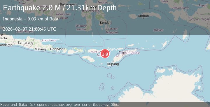
A 2.0 magnitude earthquake struck on Flores Region, Indonesia, at Sat, 07 Feb 2026 21:00:45 GMT. Depth: 21.30559km. Reviewed by BMKG seismologists, this minor quake occurred at a magnitude type of M.
Magnitude
2.0
M
Source
BMKG
Intensity
-
Agency Reports
1 Sources| Source | Magnitude | Depth | Time |
|---|---|---|---|
| BMKGPrimary | 2.0 | 21 km | 1 hour ago |
Earthquake Details
AutomaticEvent IDbmg2026crff
Tsunami PotentialNo
Magnitude TypeM
Nearest Places
- Tanjung Teping27.1 km
- Tanjung Magemoat27.4 km
- Napung Urut27.5 km
- Wair Hawa27.6 km
- Napung Leu27.6 km
Comments
Join the discussion about this event.
Latest Earthquakes
2.3Mag
85 km ESE of Ugashik, Alaska
Time4 minutes ago
Depth16.80 km
SourceUSGS (Automatic)
1.1Mag
18 km NNE of Ridgecrest, CA
Time8 minutes ago
Depth10.09 km
SourceUSGS (Automatic)
2.3Mag
Sumbawa Region, Indonesia
Time9 minutes ago
Depth22.95 km
SourceBMKG (Automatic)
2.8Mag
NEAR COAST OF NICARAGUA
Time21 minutes ago
Depth53.00 km
SourceINET (Automatic)
1.1Mag
15 km NNE of Borrego Springs, CA
Time29 minutes ago
Depth11.25 km
SourceUSGS (Automatic)
Nearby Earthquakes
3.6Mag
Savu Sea
Time6 days ago
Depth53.53 km
SourceBMKG (Automatic)
2.5Mag
Savu Sea
Time1 day ago
Depth31.49 km
SourceBMKG (Automatic)
3.2Mag
Savu Sea
Time1 day ago
Depth18.85 km
SourceBMKG (Automatic)
3.0Mag
Flores Region, Indonesia
Time2 weeks ago
Depth84.08 km
SourceBMKG (Automatic)
2.4Mag
Flores Region, Indonesia
Time2 weeks ago
Depth21.00 km
SourceBMKG (Automatic)