Earthquake 59 km WNW of Anchor Point, Alaska
Sat, 07 Feb 2026 21:15:36 GMT
Time1 hour ago
Location
59.9170, -152.8600
Depth
110.0 KM
Event Summary
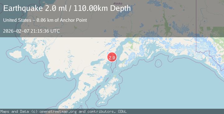
A 2.0 magnitude earthquake struck on 59 km WNW of Anchor Point, Alaska, at Sat, 07 Feb 2026 21:15:36 GMT. Depth: 110km. Reviewed by USGS seismologists, this minor quake occurred at a magnitude type of ml.
Magnitude
2.0
ml
Source
USGS
Intensity
-
Agency Reports
1 Sources| Source | Magnitude | Depth | Time |
|---|---|---|---|
| USGSPrimary | 2.0 | 110 km | 1 hour ago |
Earthquake Details
AutomaticEvent IDusgs_ak2026crodub
Tsunami PotentialNo
Magnitude Typeml
Nearest Places
- Spring Lakes3.4 km
- Shelter Creek3.9 km
- Hickerson Lake4.1 km
- Herbs Lagoon4.5 km
- Shelter Cove4.7 km
Comments
Join the discussion about this event.
Latest Earthquakes
2.6Mag
Java, Indonesia
Time9 minutes ago
Depth31.58 km
SourceBMKG (Automatic)
5.2Mag
CRETE, GREECE
Time13 minutes ago
Depth31.00 km
SourceEMSC (Automatic)
4.4Mag
Philippine Islands Region
Time13 minutes ago
Depth10.00 km
SourceBMKG (Automatic)
2.3Mag
85 km ESE of Ugashik, Alaska
Time16 minutes ago
Depth16.80 km
SourceUSGS (Automatic)
1.1Mag
18 km NNE of Ridgecrest, CA
Time20 minutes ago
Depth10.09 km
SourceUSGS (Automatic)
Nearby Earthquakes
0.8Mag
62 km WNW of Anchor Point, Alaska
Time20 hours ago
Depth143.00 km
SourceUSGS (Automatic)
1.9Mag
64 km WNW of Anchor Point, Alaska
Time2 weeks ago
Depth114.20 km
SourceUSGS (Automatic)
2.2Mag
52 km WNW of Anchor Point, Alaska
Time1 week ago
Depth101.30 km
SourceUSGS (Automatic)
2.2Mag
61 km E of Pedro Bay, Alaska
Time1 week ago
Depth102.90 km
SourceUSGS (Automatic)
2.2Mag
61 km W of Anchor Point, Alaska
Time1 week ago
Depth97.80 km
SourceUSGS (Automatic)