Earthquake 29 km SE of Mina, Nevada
Sat, 07 Feb 2026 21:00:15 GMT
Time1 hour ago
Location
38.1989, -117.8736
Depth
3.1 KM
Event Summary
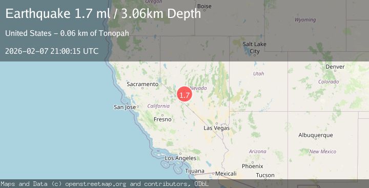
A 1.7 magnitude earthquake struck on 29 km SE of Mina, Nevada, at Sat, 07 Feb 2026 21:00:15 GMT. Depth: 3.0628km. Reviewed by USGS seismologists, this minor quake occurred at a magnitude type of ml.
Magnitude
1.7
ml
Source
USGS
Intensity
-
Agency Reports
1 Sources| Source | Magnitude | Depth | Time |
|---|---|---|---|
| USGSPrimary | 1.7 | 3 km | 1 hour ago |
Earthquake Details
AutomaticEvent IDusgs_nn00910507
Tsunami PotentialNo
Magnitude Typeml
Nearest Places
- Rock Hill8.2 km
- Rock Hill Mining District8.4 km
- Rock Hill (historical)8.4 km
- Rock Hill Mines8.9 km
- Broken Toe Mine9.0 km
Comments
Join the discussion about this event.
Latest Earthquakes
1.1Mag
18 km NNE of Ridgecrest, CA
Time4 minutes ago
Depth10.09 km
SourceUSGS (Automatic)
2.3Mag
Sumbawa Region, Indonesia
Time5 minutes ago
Depth22.95 km
SourceBMKG (Automatic)
2.8Mag
NEAR COAST OF NICARAGUA
Time17 minutes ago
Depth53.00 km
SourceINET (Automatic)
1.1Mag
15 km NNE of Borrego Springs, CA
Time25 minutes ago
Depth11.25 km
SourceUSGS (Automatic)
3.1Mag
MENDOZA, ARGENTINA
Time31 minutes ago
Depth111.80 km
SourceCSN (Automatic)
Nearby Earthquakes
2.2Mag
NEVADA
Time1 week ago
Depth10.60 km
SourceNN (Automatic)
1.6Mag
38 km ESE of Mina, Nevada
Time2 days ago
Depth3.72 km
SourceUSGS (Automatic)
1.7Mag
10 km E of Mina, Nevada
Time1 day ago
Depth0.00 km
SourceUSGS (Automatic)
2.2Mag
NEVADA
Time1 week ago
Depth7.50 km
SourceNN (Automatic)
3.4Mag
NEVADA
Time2 weeks ago
Depth13.30 km
SourceNN (Automatic)