Earthquake Philippine Islands Region
Sat, 07 Feb 2026 22:32:48 GMT
Time1 hour ago
Location
5.1390, 127.1057
Depth
10.0 KM
Event Summary
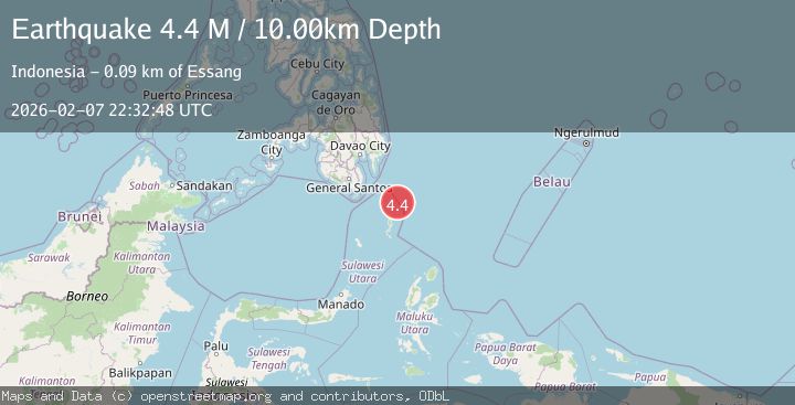
A 4.4 magnitude earthquake struck on Philippine Islands Region, at Sat, 07 Feb 2026 22:32:48 GMT. Depth: 10km. Reviewed by BMKG seismologists, this light quake occurred at a magnitude type of M.
Magnitude
4.4
M
Source
BMKG
Intensity
-
Agency Reports
1 Sources| Source | Magnitude | Depth | Time |
|---|---|---|---|
| BMKGPrimary | 4.4 | 10 km | 1 hour ago |
Earthquake Details
AutomaticEvent IDbmg2026crig
Tsunami PotentialNo
Magnitude TypeM
Nearest Places
- Pulau Garat38.1 km
- Desa Marampit42.4 km
- Desa Dampulis42.4 km
- Dampulis42.8 km
- Napu Mamone42.9 km
Comments
Join the discussion about this event.
Latest Earthquakes
1.1Mag
11 km WNW of Calipatria, CA
Time6 minutes ago
Depth5.08 km
SourceUSGS (Automatic)
3.6Mag
NEAR EAST COAST OF HONSHU, JAPAN
Time8 minutes ago
Depth50.00 km
SourceJMA (Automatic)
3.7Mag
Banda Sea
Time11 minutes ago
Depth160.33 km
SourceBMKG (Automatic)
1.6Mag
31 km NNE of Paxson, Alaska
Time16 minutes ago
Depth6.40 km
SourceUSGS (Automatic)
2.2Mag
STRAIT OF GIBRALTAR
Time16 minutes ago
Depth16.30 km
SourceIGN (Automatic)
Nearby Earthquakes
3.4Mag
MINDANAO, PHILIPPINES
Time1 week ago
Depth83.00 km
SourcePIVS (Automatic)
3.3Mag
MINDANAO, PHILIPPINES
Time2 weeks ago
Depth3.00 km
SourcePIVS (Automatic)
4.2Mag
Talaud Islands, Indonesia
Time1 week ago
Depth84.79 km
SourceBMKG (Automatic)
3.8Mag
Mindanao, Philippines
Time1 week ago
Depth43.36 km
SourceBMKG (Automatic)
4.5Mag
Mindanao, Philippines
Time2 weeks ago
Depth14.02 km
SourceBMKG (Automatic)