Earthquake Northern Sumatra, Indonesia
Sun, 08 Feb 2026 02:25:21 GMT
Time1 hour ago
Location
1.4546, 98.7397
Depth
79.2 KM
Event Summary
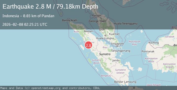
A 2.8 magnitude earthquake struck on Northern Sumatra, Indonesia, at Sun, 08 Feb 2026 02:25:21 GMT. Depth: 79.178696km. Reviewed by BMKG seismologists, this minor quake occurred at a magnitude type of M.
Magnitude
2.8
M
Source
BMKG
Intensity
-
Agency Reports
1 Sources| Source | Magnitude | Depth | Time |
|---|---|---|---|
| BMKGPrimary | 2.8 | 79 km | 1 hour ago |
Earthquake Details
AutomaticEvent IDbmg2026crpx
Tsunami PotentialNo
Magnitude TypeM
Nearest Places
- Kualabatangtoru5.2 km
- Batang Toru5.4 km
- Ujung Langkap5.9 km
- Dolok Pancang Sitardas6.0 km
- Dolok Sihapas6.3 km
Comments
Join the discussion about this event.
Latest Earthquakes
2.0Mag
51 km WNW of Ninilchik, Alaska
Time3 minutes ago
Depth94.30 km
SourceUSGS (Automatic)
2.0Mag
14 km ESE of Naalehu, Hawaii
Time14 minutes ago
Depth32.41 km
SourceUSGS (Automatic)
1.2Mag
5 km SSE of Parkfield, CA
Time17 minutes ago
Depth5.10 km
SourceUSGS (Automatic)
1.6Mag
36 km E of Denali National Park, Alaska
Time18 minutes ago
Depth0.40 km
SourceUSGS (Automatic)
3.2Mag
SOUTH CAROLINA
Time21 minutes ago
Depth10.00 km
SourceNEIC (Automatic)
Nearby Earthquakes
2.2Mag
Northern Sumatra, Indonesia
Time1 week ago
Depth99.84 km
SourceBMKG (Automatic)
2.3Mag
Northern Sumatra, Indonesia
Time2 weeks ago
Depth15.30 km
SourceBMKG (Automatic)
2.0Mag
Northern Sumatra, Indonesia
Time1 day ago
Depth5.01 km
SourceBMKG (Automatic)
2.4Mag
Northern Sumatra, Indonesia
Time2 weeks ago
Depth2.17 km
SourceBMKG (Automatic)
2.6Mag
Northern Sumatra, Indonesia
Time2 weeks ago
Depth3.77 km
SourceBMKG (Automatic)