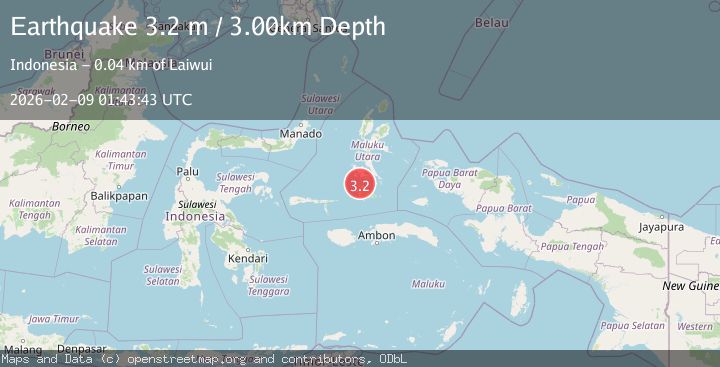
Earthquake Halmahera, Indonesia
Mon, 09 Feb 2026 01:43:42 GMT
Time1 hour ago
Location
-1.0904, 127.4174
Depth
0.0 KM
Event Summary
A 3.0 magnitude earthquake struck on Halmahera, Indonesia, at Mon, 09 Feb 2026 01:43:42 GMT. Depth: 0km. Reviewed by BMKG seismologists, this minor quake occurred at a magnitude type of M.
Magnitude
3.0
M
Source
BMKG
Intensity
-
Agency Reports
1 Sources| Source | Magnitude | Depth | Time |
|---|---|---|---|
| BMKGPrimary | 3.0 | 0 km | 1 hour ago |
Earthquake Details
AutomaticEvent IDbmg2026ctkb
Tsunami PotentialNo
Magnitude TypeM
Nearest Places
- Desa Pasir Putih7.8 km
- Pulau Tapat9.9 km
- Desa Tapa12.1 km
- Wonto Koto16.9 km
- Tanjung Pasiltam17.1 km
Comments
Join the discussion about this event.
Latest Earthquakes
3.2Mag
VIRGIN ISLANDS REGION
Time1 hour ago
Depth35.00 km
SourceNEIC (Automatic)
2.5Mag
Northern Sumatra, Indonesia
Time2 hours ago
Depth4.77 km
SourceBMKG (Automatic)
1.6Mag
4 km ENE of Saint Helena, CA
Time2 hours ago
Depth8.01 km
SourceUSGS (Automatic)
2.6Mag
West Papua Region, Indonesia
Time2 hours ago
Depth10.00 km
SourceBMKG (Automatic)
1.6Mag
SPAIN
Time2 hours ago
Depth15.00 km
SourceIGN (Automatic)
Nearby Earthquakes
2.4Mag
Halmahera, Indonesia
Time1 week ago
Depth18.32 km
SourceBMKG (Automatic)
2.9Mag
Halmahera, Indonesia
Time1 week ago
Depth8.90 km
SourceBMKG (Automatic)
2.9Mag
Southern Molucca Sea
Time1 week ago
Depth4.75 km
SourceBMKG (Automatic)
3.3Mag
Ceram Sea
Time2 weeks ago
Depth16.39 km
SourceBMKG (Automatic)
2.9Mag
Halmahera, Indonesia
Time2 weeks ago
Depth115.57 km
SourceBMKG (Automatic)