Earthquake West Papua Region, Indonesia
Mon, 09 Feb 2026 01:12:10 GMT
Time1 hour ago
Location
-0.4009, 131.6776
Depth
10.0 KM
Event Summary
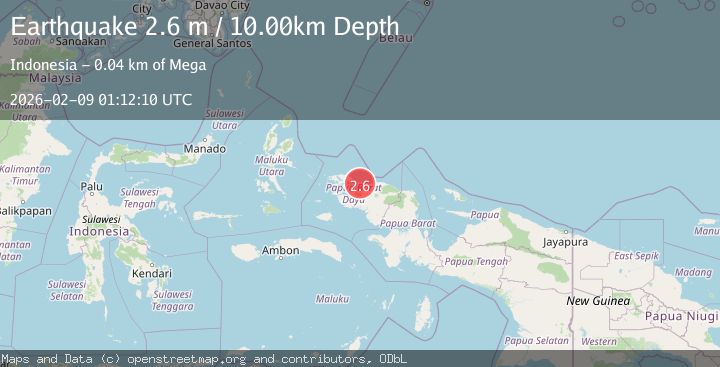
A 2.6 magnitude earthquake struck on West Papua Region, Indonesia, at Mon, 09 Feb 2026 01:12:10 GMT. Depth: 10km. Reviewed by BMKG seismologists, this minor quake occurred at a magnitude type of M.
Magnitude
2.6
M
Source
BMKG
Intensity
-
Agency Reports
1 Sources| Source | Magnitude | Depth | Time |
|---|---|---|---|
| BMKGPrimary | 2.6 | 10 km | 1 hour ago |
Earthquake Details
AutomaticEvent IDbmg2026ctja
Tsunami PotentialNo
Magnitude TypeM
Nearest Places
- Tanjung Asi37.5 km
- Asbakin37.7 km
- Tanjung Sawasar38.1 km
- Mega38.7 km
- Pulau Hum38.9 km
Comments
Join the discussion about this event.
Latest Earthquakes
1.7Mag
EASTERN MEDITERRANEAN SEA
Time1 hour ago
Depth7.10 km
SourceAFAD (Automatic)
1.1Mag
CENTRAL TURKEY
Time1 hour ago
Depth7.00 km
SourceAFAD (Automatic)
1.1Mag
12 km SSE of Anza, CA
Time2 hours ago
Depth9.30 km
SourceUSGS (Automatic)
3.2Mag
Celebes Sea
Time2 hours ago
Depth7.00 km
SourceBMKG (Automatic)
1.3Mag
WESTERN TURKEY
Time2 hours ago
Depth7.00 km
SourceAFAD (Automatic)
Nearby Earthquakes
2.5Mag
West Papua Region, Indonesia
Time2 weeks ago
Depth10.00 km
SourceBMKG (Automatic)
2.3Mag
West Papua Region, Indonesia
Time1 week ago
Depth10.00 km
SourceBMKG (Automatic)
2.3Mag
West Papua Region, Indonesia
Time2 weeks ago
Depth10.00 km
SourceBMKG (Automatic)
2.2Mag
West Papua Region, Indonesia
Time2 weeks ago
Depth10.00 km
SourceBMKG (Automatic)
2.2Mag
West Papua Region, Indonesia
Time2 weeks ago
Depth10.00 km
SourceBMKG (Automatic)