Earthquake Sumbawa Region, Indonesia
Mon, 09 Feb 2026 21:00:39 GMT
Time1 hour ago
Location
-9.4186, 117.0412
Depth
31.1 KM
Event Summary
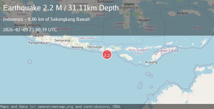
A 2.2 magnitude earthquake struck on Sumbawa Region, Indonesia, at Mon, 09 Feb 2026 21:00:39 GMT. Depth: 31.110815km. Reviewed by BMKG seismologists, this minor quake occurred at a magnitude type of M.
Magnitude
2.2
M
Source
BMKG
Intensity
-
Agency Reports
1 Sources| Source | Magnitude | Depth | Time |
|---|---|---|---|
| BMKGPrimary | 2.2 | 31 km | 1 hour ago |
Earthquake Details
AutomaticEvent IDbmg2026cuwf
Tsunami PotentialNo
Magnitude TypeM
Nearest Places
- Tanjung Talonan33.6 km
- Tanu Tanjunglilin34.9 km
- Tanjung Moneh35.9 km
- Batu Lawang36.9 km
- Sungai Talonan37.4 km
Comments
Join the discussion about this event.
Latest Earthquakes
3.5Mag
Banda Sea
Time1 hour ago
Depth133.12 km
SourceBMKG (Automatic)
2.1Mag
WESTERN TEXAS
Time1 hour ago
Depth6.80 km
SourceTX (Automatic)
2.1Mag
Sulawesi, Indonesia
Time1 hour ago
Depth10.00 km
SourceBMKG (Automatic)
2.7Mag
Java, Indonesia
Time1 hour ago
Depth13.54 km
SourceBMKG (Automatic)
2.4Mag
Flores Sea
Time1 hour ago
Depth29.84 km
SourceBMKG (Automatic)
Nearby Earthquakes
2.2Mag
Sumbawa Region, Indonesia
Time1 week ago
Depth37.93 km
SourceBMKG (Automatic)
2.7Mag
Sumbawa Region, Indonesia
Time1 week ago
Depth31.81 km
SourceBMKG (Automatic)
2.5Mag
Sumbawa Region, Indonesia
Time1 week ago
Depth26.99 km
SourceBMKG (Automatic)
2.7Mag
Sumbawa Region, Indonesia
Time6 days ago
Depth31.91 km
SourceBMKG (Automatic)
2.2Mag
Sumbawa Region, Indonesia
Time5 days ago
Depth31.41 km
SourceBMKG (Automatic)