Earthquake Near North Coast of West Papua
Mon, 09 Feb 2026 23:15:25 GMT
Time1 hour ago
Location
-2.9873, 140.0028
Depth
102.1 KM
Event Summary
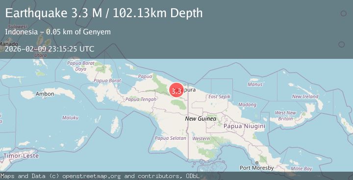
A 3.3 magnitude earthquake struck on Near North Coast of West Papua, at Mon, 09 Feb 2026 23:15:25 GMT. Depth: 102.132652km. Reviewed by BMKG seismologists, this minor quake occurred at a magnitude type of M.
Magnitude
3.3
M
Source
BMKG
Intensity
-
Agency Reports
1 Sources| Source | Magnitude | Depth | Time |
|---|---|---|---|
| BMKGPrimary | 3.3 | 102 km | 1 hour ago |
Earthquake Details
AutomaticEvent IDbmg2026cvaq
Tsunami PotentialNo
Magnitude TypeM
Nearest Places
- Kabupaten Jayapura2.2 km
- Sengbo7.2 km
- Tara9.3 km
- Kampung Yadauw9.3 km
- Kampung Tabbeyan12.9 km
Comments
Join the discussion about this event.
Latest Earthquakes
0.8Mag
8 km NW of The Geysers, CA
Time1 hour ago
Depth2.52 km
SourceUSGS (Automatic)
3.0Mag
CHIAPAS, MEXICO
Time1 hour ago
Depth2.90 km
SourceUNM (Automatic)
3.9Mag
SIKKIM, INDIA
Time1 hour ago
Depth10.00 km
SourceNSC (Automatic)
2.6Mag
Java, Indonesia
Time1 hour ago
Depth13.79 km
SourceBMKG (Automatic)
2.7Mag
WESTERN TURKEY
Time1 hour ago
Depth12.80 km
SourceKOERI (Automatic)
Nearby Earthquakes
2.1Mag
Near North Coast of West Papua
Time5 days ago
Depth21.79 km
SourceBMKG (Automatic)
2.4Mag
Near North Coast of West Papua
Time2 weeks ago
Depth10.00 km
SourceBMKG (Automatic)
2.1Mag
West Papua, Indonesia
Time5 days ago
Depth52.00 km
SourceBMKG (Automatic)
2.1Mag
West Papua, Indonesia
Time1 week ago
Depth65.29 km
SourceBMKG (Automatic)
2.9Mag
Near North Coast of West Papua
Time1 week ago
Depth25.99 km
SourceBMKG (Automatic)