Earthquake Southern Sumatra, Indonesia
Tue, 10 Feb 2026 06:10:55 GMT
Time8 hours ago
Location
-5.3511, 104.6052
Depth
2.6 KM
Event Summary
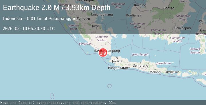
A 2.0 magnitude earthquake struck on Southern Sumatra, Indonesia, at Tue, 10 Feb 2026 06:10:55 GMT. Depth: 2.612302km. Reviewed by BMKG seismologists, this minor quake occurred at a magnitude type of M.
Magnitude
2.0
M
Source
BMKG
Intensity
-
Agency Reports
1 Sources| Source | Magnitude | Depth | Time |
|---|---|---|---|
| BMKGPrimary | 2.0 | 3 km | 8 hours ago |
Earthquake Details
ManualEvent IDbmg2026cvoj
Tsunami PotentialNo
Magnitude TypeM
Nearest Places
- Datarajan0.6 km
- Datarajan0.8 km
- Belu1.0 km
- Airabang1.6 km
- Gunung Kabawok1.9 km
Comments
Join the discussion about this event.
Latest Earthquakes
2.1Mag
Southern Sumatra, Indonesia
Time8 hours ago
Depth14.65 km
SourceBMKG
1.6Mag
EASTERN TURKEY
Time8 hours ago
Depth7.10 km
SourceAFAD (Automatic)
0.7Mag
NORTHERN ITALY
Time8 hours ago
Depth2.00 km
SourceOGS (Automatic)
3.7Mag
Northern Molucca Sea
Time8 hours ago
Depth53.52 km
SourceBMKG
3.1Mag
Java, Indonesia
Time9 hours ago
Depth19.27 km
SourceBMKG
Nearby Earthquakes
2.1Mag
Southern Sumatra, Indonesia
Time1 week ago
Depth5.00 km
SourceBMKG (Automatic)
2.2Mag
Southern Sumatra, Indonesia
Time2 days ago
Depth4.64 km
SourceBMKG (Automatic)
2.3Mag
Southern Sumatra, Indonesia
Time6 days ago
Depth15.95 km
SourceBMKG (Automatic)
2.0Mag
Southern Sumatra, Indonesia
Time1 week ago
Depth10.00 km
SourceBMKG (Automatic)
3.8Mag
Southern Sumatra, Indonesia
Time1 week ago
Depth10.00 km
SourceBMKG (Automatic)