Earthquake Northern Molucca Sea
Tue, 10 Feb 2026 05:50:56 GMT
Time2 hours ago
Location
0.8969, 125.2811
Depth
58.9 KM
Event Summary
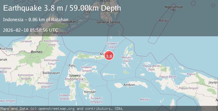
A 3.8 magnitude earthquake struck on Northern Molucca Sea, at Tue, 10 Feb 2026 05:50:56 GMT. Depth: 58.922234km. Reviewed by BMKG seismologists, this minor quake occurred at a magnitude type of M.
Magnitude
3.8
M
Source
BMKG
Intensity
-
Agency Reports
1 Sources| Source | Magnitude | Depth | Time |
|---|---|---|---|
| BMKGPrimary | 3.8 | 59 km | 2 hours ago |
Earthquake Details
ManualEvent IDbmg2026cvns
Tsunami PotentialNo
Magnitude TypeM
Nearest Places
- Pulau Pakolor37.8 km
- Sosoan Kinamang39.3 km
- Tumpaan39.3 km
- Parumis39.4 km
- Sosoan Kayuwatu Wangko39.4 km
Comments
Join the discussion about this event.
Latest Earthquakes
3.1Mag
Java, Indonesia
Time2 hours ago
Depth19.27 km
SourceBMKG
2.7Mag
SOUTHERN TEXAS
Time2 hours ago
Depth9.30 km
SourceTX (Automatic)
2.0Mag
20 km WNW of Sunnyside-Tahoe City, CA
Time2 hours ago
Depth-1.58 km
SourceUSGS (Automatic)
2.5Mag
IONIAN SEA
Time2 hours ago
Depth4.10 km
SourceNOA (Automatic)
4.3Mag
CATAMARCA, ARGENTINA
Time2 hours ago
Depth180.00 km
SourceNSNA (Automatic)
Nearby Earthquakes
3.3Mag
MOLUCCA SEA
Time5 days ago
Depth28.00 km
SourceBMKG (Automatic)
3.4Mag
Northern Molucca Sea
Time2 weeks ago
Depth11.41 km
SourceBMKG (Automatic)
3.5Mag
Northern Molucca Sea
Time1 week ago
Depth16.12 km
SourceBMKG (Automatic)
3.6Mag
Northern Molucca Sea
Time4 days ago
Depth6.50 km
SourceBMKG (Automatic)
3.3Mag
Minahassa Peninsula, Sulawesi
Time3 days ago
Depth10.00 km
SourceBMKG (Automatic)