Earthquake Southern Sumatra, Indonesia
Tue, 10 Feb 2026 23:51:15 GMT
Time1 week ago
Location
-2.0267, 100.6380
Depth
35.7 KM
Event Summary
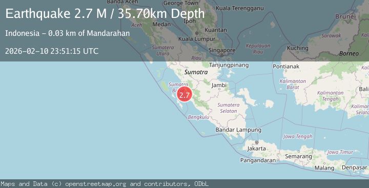
A 2.7 magnitude earthquake struck on Southern Sumatra, Indonesia, at Tue, 10 Feb 2026 23:51:15 GMT. Depth: 35.69521km. Reviewed by BMKG seismologists, this minor quake occurred at a magnitude type of M.
Magnitude
2.7
M
Source
BMKG
Intensity
-
Agency Reports
1 Sources| Source | Magnitude | Depth | Time |
|---|---|---|---|
| BMKGPrimary | 2.7 | 36 km | 1 week ago |
Earthquake Details
ManualEvent IDbmg2026cwxi
Tsunami PotentialNo
Magnitude TypeM
Nearest Places
- Pulau Baringin13.2 km
- Pulau Katangkatang17.6 km
- Ujung Indrapura24.1 km
- Air Patah24.4 km
- Air Ubar25.3 km
Comments
Join the discussion about this event.
Latest Earthquakes
2.7Mag
Halmahera, Indonesia
Time4 minutes ago
Depth15.96 km
SourceBMKG
1.4Mag
14 km NNW of Stanton, Texas
Time6 minutes ago
Depth3.64 km
SourceUSGS (Automatic)
2.6Mag
Java, Indonesia
Time7 minutes ago
Depth12.69 km
SourceBMKG
2.2Mag
Southern Sumatra, Indonesia
Time9 minutes ago
Depth24.35 km
SourceBMKG
1.9Mag
60 km S of Whites City, New Mexico
Time10 minutes ago
Depth5.71 km
SourceUSGS (Automatic)
Nearby Earthquakes
2.8Mag
KEP. MENTAWAI REGION, INDONESIA
Time1 month ago
Depth60.00 km
SourceBMKG (Automatic)
5.4Mag
KEP. MENTAWAI REGION, INDONESIA
Time12 years ago
Depth60.00 km
SourceEMSC (Automatic)
6.4Mag
KEP. MENTAWAI REGION, INDONESIA
Time9 years ago
Depth55.00 km
SourceEMSC (Automatic)
4.0Mag
SOUTHERN SUMATRA, INDONESIA
Time6 years ago
Depth10.00 km
SourceDJA (Automatic)
3.0Mag
KEP. MENTAWAI REGION, INDONESIA
Time2 years ago
Depth10.00 km
SourceBMKG (Automatic)