Earthquake Near North Coast of West Papua
Sat, 07 Feb 2026 17:23:03 GMT
Time1 hour ago
Location
-2.3111, 140.2731
Depth
10.0 KM
Event Summary
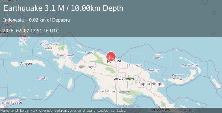
A 3.1 magnitude earthquake struck on Near North Coast of West Papua, at Sat, 07 Feb 2026 17:23:03 GMT. Depth: 10km. Reviewed by BMKG seismologists, this minor quake occurred at a magnitude type of M.
Magnitude
3.1
M
Source
BMKG
Intensity
-
Agency Reports
1 Sources| Source | Magnitude | Depth | Time |
|---|---|---|---|
| BMKGPrimary | 3.1 | 10 km | 1 hour ago |
Earthquake Details
AutomaticEvent IDbmg2026cqya
Tsunami PotentialNo
Magnitude TypeM
Nearest Places
- Salean Segara9.2 km
- Tanjung Handimoko10.3 km
- Bukisi11.7 km
- Tanjung Wanya11.8 km
- Teluk Iris12.1 km
Comments
Join the discussion about this event.
Latest Earthquakes
2.4Mag
Java, Indonesia
Time4 minutes ago
Depth28.48 km
SourceBMKG (Automatic)
4.6Mag
Tanimbar Islands Region, Indonesia
Time6 minutes ago
Depth153.95 km
SourceBMKG (Automatic)
2.1Mag
Flores Sea
Time7 minutes ago
Depth118.45 km
SourceBMKG (Automatic)
2.5Mag
21 km WNW of Fishhook, Alaska
Time9 minutes ago
Depth32.90 km
SourceUSGS (Automatic)
2.8Mag
SIKKIM, INDIA
Time18 minutes ago
Depth6.00 km
SourceNDI (Automatic)
Nearby Earthquakes
2.6Mag
Near North Coast of West Papua
Time2 weeks ago
Depth10.00 km
SourceBMKG (Automatic)
2.6Mag
Near North Coast of West Papua
Time2 hours ago
Depth10.00 km
SourceBMKG (Automatic)
2.4Mag
Near North Coast of West Papua
Time2 weeks ago
Depth18.12 km
SourceBMKG (Automatic)
2.2Mag
Near North Coast of West Papua
Time1 week ago
Depth4.12 km
SourceBMKG (Automatic)
3.2Mag
Near North Coast of West Papua
Time1 week ago
Depth10.00 km
SourceBMKG (Automatic)