Earthquake Near North Coast of West Papua
Wed, 11 Feb 2026 19:01:31 GMT
Time1 week ago
Location
-2.2683, 140.0557
Depth
10.0 KM
Event Summary
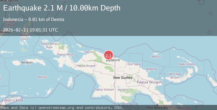
A 2.1 magnitude earthquake struck on Near North Coast of West Papua, at Wed, 11 Feb 2026 19:01:31 GMT. Depth: 10km. Reviewed by BMKG seismologists, this minor quake occurred at a magnitude type of M.
Magnitude
2.1
M
Source
BMKG
Intensity
-
Agency Reports
1 Sources| Source | Magnitude | Depth | Time |
|---|---|---|---|
| BMKGPrimary | 2.1 | 10 km | 1 week ago |
Earthquake Details
ManualEvent IDbmg2026cyjh
Tsunami PotentialNo
Magnitude TypeM
Nearest Places
- Tarfia6.0 km
- Tanjung Kamadara8.8 km
- Moaif9.1 km
- Wai Humbei9.6 km
- Sungai Grime10.5 km
Comments
Join the discussion about this event.
Latest Earthquakes
1.4Mag
Central Alaska
Time21 hours ago
Depth0.00 km
SourceVYT (Automatic)
1.4Mag
western Texas
Time21 hours ago
Depth6.84 km
SourceVYT (Automatic)
1.3Mag
Southern Alaska
Time21 hours ago
Depth96.80 km
SourceVYT (Automatic)
2.2Mag
Java, Indonesia
Time21 hours ago
Depth97.25 km
SourceBMKG
2.9Mag
Ceram Sea
Time21 hours ago
Depth12.69 km
SourceBMKG
Nearby Earthquakes
2.5Mag
Near North Coast of West Papua
Time6 days ago
Depth10.00 km
SourceBMKG
3.0Mag
Near North Coast of West Papua
Time5 days ago
Depth10.00 km
SourceBMKG
2.7Mag
Near North Coast of West Papua
Time6 days ago
Depth10.00 km
SourceBMKG
3.3Mag
Near North Coast of West Papua
Time1 week ago
Depth10.00 km
SourceBMKG (Automatic)
3.0Mag
NEAR N COAST OF PAPUA, INDONESIA
Time4 years ago
Depth10.00 km
SourceDJA (Automatic)