Earthquake Near North Coast of West Papua
Fri, 13 Feb 2026 12:47:30 GMT
Time5 days ago
Location
-2.2611, 140.0659
Depth
10.0 KM
Event Summary
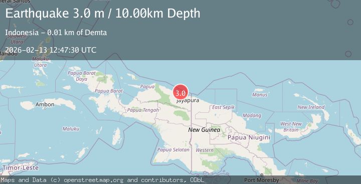
A 3.0 magnitude earthquake struck on Near North Coast of West Papua, at Fri, 13 Feb 2026 12:47:30 GMT. Depth: 10km. Reviewed by BMKG seismologists, this minor quake occurred at a magnitude type of M.
Magnitude
3.0
M
Source
BMKG
Intensity
-
Agency Reports
1 Sources| Source | Magnitude | Depth | Time |
|---|---|---|---|
| BMKGPrimary | 3.0 | 10 km | 5 days ago |
Earthquake Details
ManualEvent IDbmg2026dbny
Tsunami PotentialNo
Magnitude TypeM
Nearest Places
- Tarfia5.8 km
- Tanjung Kamadara8.6 km
- Moaif10.0 km
- Wai Humbei10.1 km
- Teluk Matterer10.5 km
Comments
Join the discussion about this event.
Latest Earthquakes
2.7Mag
Fox Islands, Aleutian Islands, Alaska
Time26 minutes ago
Depth18.07 km
SourceVYT (Automatic)
3.7Mag
Offshore southern Greece
Time28 minutes ago
Depth119.26 km
SourceVYT (Automatic)
3.0Mag
Poland
Time29 minutes ago
Depth0.24 km
SourceVYT (Automatic)
4.5Mag
North of Halmahera, Indonesia
Time39 minutes ago
Depth10.00 km
SourceBMKG
4.1Mag
WESTERN XIZANG
Time40 minutes ago
Depth188.80 km
SourceNDI (Automatic)
Nearby Earthquakes
2.5Mag
Near North Coast of West Papua
Time6 days ago
Depth10.00 km
SourceBMKG
2.1Mag
Near North Coast of West Papua
Time1 week ago
Depth10.00 km
SourceBMKG
3.3Mag
Near North Coast of West Papua
Time1 week ago
Depth10.00 km
SourceBMKG (Automatic)
3.0Mag
NEAR N COAST OF PAPUA, INDONESIA
Time4 years ago
Depth10.00 km
SourceDJA (Automatic)
2.8Mag
Near North Coast of West Papua
Time1 week ago
Depth10.00 km
SourceBMKG