Earthquake Sumbawa Region, Indonesia
Thu, 12 Feb 2026 02:52:29 GMT
Time1 week ago
Location
-9.3856, 117.1045
Depth
32.6 KM
Event Summary
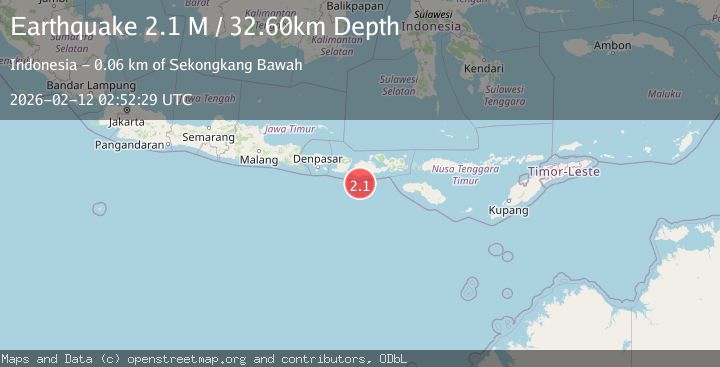
A 2.1 magnitude earthquake struck on Sumbawa Region, Indonesia, at Thu, 12 Feb 2026 02:52:29 GMT. Depth: 32.603519km. Reviewed by BMKG seismologists, this minor quake occurred at a magnitude type of M.
Magnitude
2.1
M
Source
BMKG
Intensity
-
Agency Reports
1 Sources| Source | Magnitude | Depth | Time |
|---|---|---|---|
| BMKGPrimary | 2.1 | 33 km | 1 week ago |
Earthquake Details
ManualEvent IDbmg2026cyyv
Tsunami PotentialNo
Magnitude TypeM
Nearest Places
- Tanjung Talonan30.9 km
- Tanu Tanjunglilin31.8 km
- Tanjung Sarang Ode33.4 km
- Tanjung Batubongkang33.8 km
- Tanjung Moneh34.1 km
Comments
Join the discussion about this event.
Latest Earthquakes
0.4Mag
31 km NW of Toyah, Texas
Time3 minutes ago
Depth4.11 km
SourceUSGS (Automatic)
2.5Mag
Tarapaca, Chile
Time9 minutes ago
Depth0.12 km
SourceVYT (Automatic)
2.3Mag
West Papua Region, Indonesia
Time14 minutes ago
Depth10.00 km
SourceBMKG
2.3Mag
FRANCE
Time16 minutes ago
Depth5.00 km
SourceReNaSS (Automatic)
2.6Mag
Tarapaca, Chile
Time20 minutes ago
Depth106.08 km
SourceVYT (Automatic)
Nearby Earthquakes
2.7Mag
Sumbawa Region, Indonesia
Time2 weeks ago
Depth31.43 km
SourceBMKG (Automatic)
2.3Mag
Sumbawa Region, Indonesia
Time2 weeks ago
Depth40.80 km
SourceBMKG (Automatic)
2.7Mag
Sumbawa Region, Indonesia
Time2 weeks ago
Depth31.91 km
SourceBMKG (Automatic)
2.5Mag
SUMBAWA REGION, INDONESIA
Time1 month ago
Depth46.00 km
SourceBMKG (Automatic)
2.6Mag
Sumbawa Region, Indonesia
Time2 weeks ago
Depth31.41 km
SourceBMKG (Automatic)