Earthquake Halmahera, Indonesia
Thu, 12 Feb 2026 03:19:03 GMT
Time6 days ago
Location
2.3466, 128.2060
Depth
78.1 KM
Event Summary
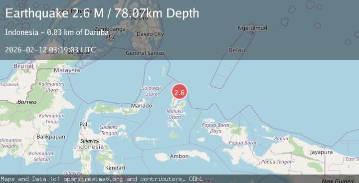
A 2.6 magnitude earthquake struck on Halmahera, Indonesia, at Thu, 12 Feb 2026 03:19:03 GMT. Depth: 78.072388km. Reviewed by BMKG seismologists, this minor quake occurred at a magnitude type of M.
Magnitude
2.6
M
Source
BMKG
Intensity
-
Agency Reports
1 Sources| Source | Magnitude | Depth | Time |
|---|---|---|---|
| BMKGPrimary | 2.6 | 78 km | 6 days ago |
Earthquake Details
ManualEvent IDbmg2026cyzs
Tsunami PotentialNo
Magnitude TypeM
Nearest Places
- Pulau Kakapali3.0 km
- Pulau Ganopu Misahe3.1 km
- Capali3.5 km
- Ake Tetewang4.0 km
- Desa Aru Burung4.2 km
Comments
Join the discussion about this event.
Latest Earthquakes
1.0Mag
Southeastern Alaska
Time16 hours ago
Depth0.00 km
SourceVYT (Automatic)
1.9Mag
4 km NNW of The Geysers, CA
Time16 hours ago
Depth2.14 km
SourceUSGS (Automatic)
2.3Mag
Tarapaca, Chile
Time16 hours ago
Depth114.14 km
SourceVYT (Automatic)
2.1Mag
Southern Alaska
Time16 hours ago
Depth67.26 km
SourceVYT (Automatic)
2.2Mag
western Russia
Time16 hours ago
Depth0.00 km
SourceVYT (Automatic)
Nearby Earthquakes
4.0Mag
HALMAHERA, INDONESIA
Time6 years ago
Depth132.00 km
SourceDJA (Automatic)
5.3Mag
HALMAHERA, INDONESIA
Time8 years ago
Depth48.00 km
SourceEMSC (Automatic)
3.0Mag
HALMAHERA, INDONESIA
Time2 years ago
Depth160.00 km
SourceDJA (Automatic)
3.9Mag
Halmahera, Indonesia
Time3 days ago
Depth187.62 km
SourceVYT (Automatic)
4.2Mag
HALMAHERA, INDONESIA
Time1 month ago
Depth87.00 km
SourceBMKG (Automatic)