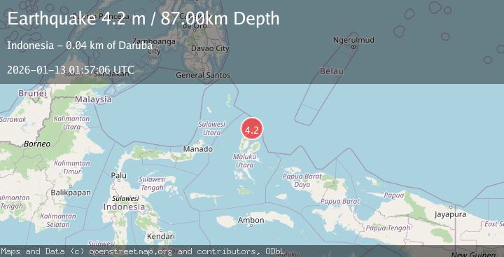
Earthquake HALMAHERA, INDONESIA
Tue, 13 Jan 2026 01:57:06 GMT
Time1 month ago
Location
2.4000, 128.2700
Depth
87.0 KM
Event Summary
A 4.2 magnitude earthquake struck on HALMAHERA, INDONESIA, at Tue, 13 Jan 2026 01:57:06 GMT. Depth: 87km. Reviewed by BMKG seismologists, this light quake occurred at a magnitude type of m.
Magnitude
4.2
m
Source
BMKG
Intensity
-
Agency Reports
1 Sources| Source | Magnitude | Depth | Time |
|---|---|---|---|
| BMKGPrimary | 4.2 | 87 km | 1 month ago |
Earthquake Details
AutomaticEvent IDemsc_BMKG_20260113_0000030
Tsunami PotentialNo
Magnitude Typem
Nearest Places
- Tanjung Pusu2.5 km
- Ake Ciu3.1 km
- Leloro3.7 km
- Cio Gerong4.1 km
- Tanjung Gerongu4.1 km
Comments
Join the discussion about this event.
Latest Earthquakes
2.5Mag
Java, Indonesia
Time6 hours ago
Depth76.49 km
SourceBMKG
1.9Mag
Tarapaca, Chile
Time7 hours ago
Depth7.93 km
SourceVYT (Automatic)
2.4Mag
West Papua Region, Indonesia
Time7 hours ago
Depth10.00 km
SourceBMKG
2.7Mag
Antofagasta, Chile
Time7 hours ago
Depth0.00 km
SourceVYT (Automatic)
2.7Mag
Tarapaca, Chile
Time7 hours ago
Depth10.50 km
SourceVYT (Automatic)
Nearby Earthquakes
4.0Mag
HALMAHERA, INDONESIA
Time6 years ago
Depth26.00 km
SourceDJA (Automatic)
4.0Mag
HALMAHERA, INDONESIA
Time1 year ago
Depth10.00 km
SourceBMKG (Automatic)
5.3Mag
HALMAHERA, INDONESIA
Time8 years ago
Depth48.00 km
SourceEMSC (Automatic)
5.0Mag
HALMAHERA, INDONESIA
Time10 years ago
Depth130.00 km
SourceEMSC (Automatic)
3.9Mag
Halmahera, Indonesia
Time1 day ago
Depth70.80 km
SourceVYT (Automatic)