Earthquake West Papua Region, Indonesia
Fri, 13 Feb 2026 02:49:27 GMT
Time5 days ago
Location
-3.9121, 131.9860
Depth
10.2 KM
Event Summary
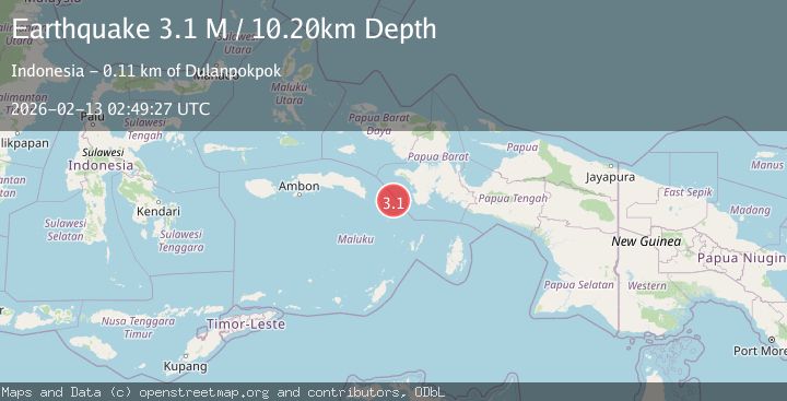
A 3.1 magnitude earthquake struck on West Papua Region, Indonesia, at Fri, 13 Feb 2026 02:49:27 GMT. Depth: 10.202km. Reviewed by BMKG seismologists, this minor quake occurred at a magnitude type of M.
Magnitude
3.1
M
Source
BMKG
Intensity
-
Agency Reports
1 Sources| Source | Magnitude | Depth | Time |
|---|---|---|---|
| BMKGPrimary | 3.1 | 10 km | 5 days ago |
Earthquake Details
ManualEvent IDbmg2026dauf
Tsunami PotentialNo
Magnitude TypeM
Nearest Places
- Kilkoda61.6 km
- Pulau Oirang61.6 km
- Bas61.7 km
- Desa Kota Sirih61.9 km
- Tanjung Owan62.0 km
Comments
Join the discussion about this event.
Latest Earthquakes
1.7Mag
2 km NW of Enterprise, Nevada
Time6 minutes ago
Depth15.89 km
SourceUSGS (Automatic)
1.3Mag
Southeastern Alaska
Time8 minutes ago
Depth7.20 km
SourceVYT (Automatic)
0.8Mag
39 km NE of Amboy, Washington
Time9 minutes ago
Depth7.36 km
SourceUSGS (Automatic)
3.2Mag
ANDHRA PRADESH, INDIA
Time13 minutes ago
Depth4.70 km
SourceNDI (Automatic)
0.7Mag
10 km WNW of The Geysers, CA
Time15 minutes ago
Depth2.56 km
SourceUSGS (Automatic)
Nearby Earthquakes
5.0Mag
CERAM SEA, INDONESIA
Time17 years ago
Depth40.00 km
SourceGFZ (Automatic)
2.7Mag
BANDA SEA
Time1 week ago
Depth92.00 km
SourceBMKG (Automatic)
4.4Mag
Papua region, Indonesia
Time1 week ago
Depth585.69 km
SourceVYT (Automatic)
5.0Mag
CERAM SEA, INDONESIA
Time9 years ago
Depth30.00 km
SourceEMSC (Automatic)
3.9Mag
West Papua Region, Indonesia
Time1 week ago
Depth20.40 km
SourceBMKG (Automatic)