Earthquake BANDA SEA
Thu, 05 Feb 2026 14:59:03 GMT
Time2 hours ago
Location
-4.2000, 131.7300
Depth
92.0 KM
Event Summary
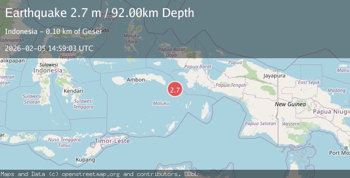
A 2.7 magnitude earthquake struck on BANDA SEA, at Thu, 05 Feb 2026 14:59:03 GMT. Depth: 92km. Reviewed by BMKG seismologists, this minor quake occurred at a magnitude type of m.
Magnitude
2.7
m
Source
BMKG
Intensity
-
Agency Reports
1 Sources| Source | Magnitude | Depth | Time |
|---|---|---|---|
| BMKGPrimary | 2.7 | 92 km | 2 hours ago |
Earthquake Details
AutomaticEvent IDemsc_BMKG_20260205_0000213
Tsunami PotentialNo
Magnitude Typem
Nearest Places
- Tanjung Batukasang25.8 km
- Ilila26.1 km
- Desa Ilili26.5 km
- Desa Effa27.1 km
- Pulau Watubela27.1 km
Comments
Join the discussion about this event.
Latest Earthquakes
0.8Mag
10 km NW of The Geysers, CA
Time10 minutes ago
Depth1.41 km
SourceUSGS (Automatic)
2.1Mag
Java, Indonesia
Time10 minutes ago
Depth18.15 km
SourceBMKG (Automatic)
3.5Mag
CRETE, GREECE
Time11 minutes ago
Depth7.00 km
SourceTHE (Automatic)
2.0Mag
STRAIT OF GIBRALTAR
Time27 minutes ago
Depth10.00 km
SourceIGN (Automatic)
2.6Mag
Sumba Region, Indonesia
Time29 minutes ago
Depth8.97 km
SourceBMKG (Automatic)
Nearby Earthquakes
3.6Mag
Banda Sea
Time2 weeks ago
Depth132.89 km
SourceBMKG (Automatic)
3.7Mag
West Papua Region, Indonesia
Time1 week ago
Depth20.99 km
SourceBMKG (Automatic)
4.2Mag
Banda Sea
Time1 day ago
Depth112.63 km
SourceBMKG (Automatic)
2.6Mag
West Papua Region, Indonesia
Time1 week ago
Depth62.78 km
SourceBMKG (Automatic)
2.9Mag
West Papua Region, Indonesia
Time1 week ago
Depth83.86 km
SourceBMKG (Automatic)