Earthquake West Papua Region, Indonesia
Tue, 10 Feb 2026 01:15:57 GMT
Time1 hour ago
Location
-3.7659, 131.5364
Depth
20.4 KM
Event Summary
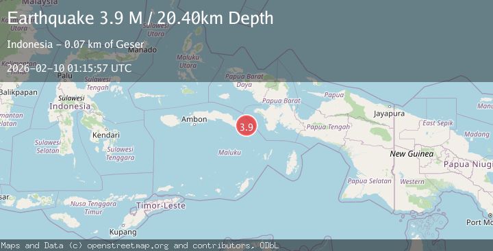
A 3.9 magnitude earthquake struck on West Papua Region, Indonesia, at Tue, 10 Feb 2026 01:15:57 GMT. Depth: 20.400135km. Reviewed by BMKG seismologists, this minor quake occurred at a magnitude type of M.
Magnitude
3.9
M
Source
BMKG
Intensity
-
Agency Reports
1 Sources| Source | Magnitude | Depth | Time |
|---|---|---|---|
| BMKGPrimary | 3.9 | 20 km | 1 hour ago |
Earthquake Details
AutomaticEvent IDbmg2026cveq
Tsunami PotentialNo
Magnitude TypeM
Nearest Places
- Desa Sikaro Kataloka24.7 km
- Kinale24.9 km
- Desa Namalean25.0 km
- Tanjung Namalen25.0 km
- Usun25.1 km
Comments
Join the discussion about this event.
Latest Earthquakes
2.9Mag
OFFSHORE COQUIMBO, CHILE
Time1 hour ago
Depth10.00 km
SourceCSN (Automatic)
3.3Mag
NORTH ISLAND OF NEW ZEALAND
Time1 hour ago
Depth17.00 km
SourceGNS (Automatic)
4.5Mag
MORO GULF, MINDANAO, PHILIPPINES
Time1 hour ago
Depth35.00 km
SourcePIVS (Automatic)
4.6Mag
Mindanao, Philippines
Time1 hour ago
Depth10.00 km
SourceBMKG (Automatic)
2.8Mag
WESTERN AUSTRALIA
Time1 hour ago
Depth10.00 km
SourceAUST (Automatic)
Nearby Earthquakes
3.7Mag
West Papua Region, Indonesia
Time1 week ago
Depth20.99 km
SourceBMKG (Automatic)
2.7Mag
BANDA SEA
Time4 days ago
Depth92.00 km
SourceBMKG (Automatic)
2.6Mag
West Papua Region, Indonesia
Time2 weeks ago
Depth62.78 km
SourceBMKG (Automatic)
2.9Mag
West Papua Region, Indonesia
Time1 week ago
Depth83.86 km
SourceBMKG (Automatic)
3.0Mag
West Papua Region, Indonesia
Time1 week ago
Depth10.00 km
SourceBMKG (Automatic)