Earthquake Papua region, Indonesia
Tue, 10 Feb 2026 15:30:35 GMT
Time1 week ago
Location
-4.0245, 132.3590
Depth
585.7 KM
Event Summary
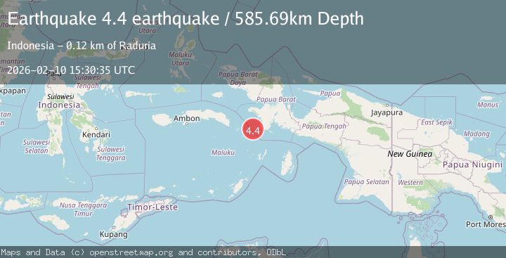
A 4.4 magnitude earthquake struck on Papua region, Indonesia, at Tue, 10 Feb 2026 15:30:35 GMT. Depth: 585.693359375km. Reviewed by VYT seismologists, this light quake occurred at a magnitude type of earthquake.
Magnitude
4.4
earthquake
Source
VYT
Intensity
-
Agency Reports
1 Sources| Source | Magnitude | Depth | Time |
|---|---|---|---|
| VYTPrimary | 4.4 | 586 km | 1 week ago |
Earthquake Details
AutomaticEvent IDvyt_ef8gel9a6tyb
Tsunami PotentialNo
Magnitude Typeearthquake
Nearest Places
- Tanjung Mommon51.5 km
- Teluk Wap53.0 km
- Teluk Sanggola53.5 km
- Tandjoeng57.6 km
- Gunung Baik59.0 km
Comments
Join the discussion about this event.
Latest Earthquakes
3.5Mag
COOK STRAIT, NEW ZEALAND
Time2 minutes ago
Depth75.30 km
SourceGNS (Automatic)
2.4Mag
Seram, Indonesia
Time3 minutes ago
Depth18.42 km
SourceBMKG
2.6Mag
West Papua Region, Indonesia
Time6 minutes ago
Depth17.35 km
SourceBMKG
2.8Mag
Antofagasta, Chile
Time9 minutes ago
Depth0.00 km
SourceVYT (Automatic)
3.3Mag
Near North Coast of West Papua
Time11 minutes ago
Depth10.00 km
SourceBMKG
Nearby Earthquakes
3.1Mag
NEAR S COAST OF PAPUA, INDONESIA
Time1 month ago
Depth10.00 km
SourceBMKG (Automatic)
3.1Mag
West Papua Region, Indonesia
Time5 days ago
Depth10.20 km
SourceBMKG
3.1Mag
West Papua Region, Indonesia
Time3 weeks ago
Depth10.00 km
SourceBMKG (Automatic)
5.1Mag
NEAR S COAST OF PAPUA, INDONESIA
Time7 months ago
Depth10.00 km
SourceEMSC (Automatic)
4.0Mag
NEAR S COAST OF PAPUA, INDONESIA
Time11 months ago
Depth65.00 km
SourceBMKG (Automatic)