Earthquake Near North Coast of West Papua
Fri, 13 Feb 2026 20:48:38 GMT
Time5 days ago
Location
-2.3214, 139.8789
Depth
29.8 KM
Event Summary
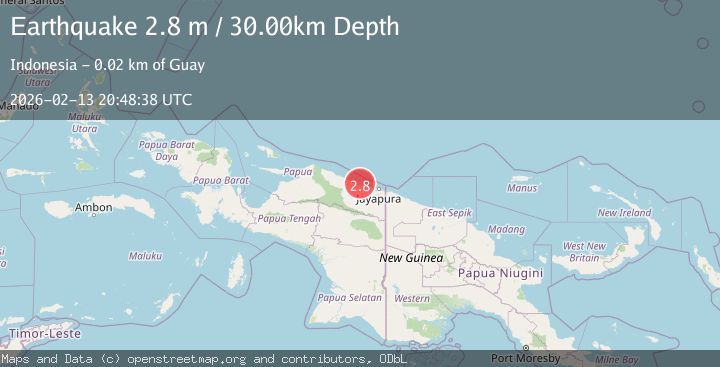
A 2.8 magnitude earthquake struck on Near North Coast of West Papua, at Fri, 13 Feb 2026 20:48:38 GMT. Depth: 29.811602km. Reviewed by BMKG seismologists, this minor quake occurred at a magnitude type of M.
Magnitude
2.8
M
Source
BMKG
Intensity
-
Agency Reports
1 Sources| Source | Magnitude | Depth | Time |
|---|---|---|---|
| BMKGPrimary | 2.8 | 30 km | 5 days ago |
Earthquake Details
ManualEvent IDbmg2026dcdv
Tsunami PotentialNo
Magnitude TypeM
Nearest Places
- Teluk Walckenaer2.1 km
- Kaptiau7.1 km
- Sungai Kapdi7.4 km
- Sungai Mokalo8.7 km
- Sungai Poro8.8 km
Comments
Join the discussion about this event.
Latest Earthquakes
4.5Mag
North of Halmahera, Indonesia
Time7 minutes ago
Depth10.00 km
SourceBMKG
3.1Mag
Bali Region, Indonesia
Time13 minutes ago
Depth19.14 km
SourceBMKG
2.7Mag
Coquimbo, Chile
Time14 minutes ago
Depth14.16 km
SourceVYT (Automatic)
1.7Mag
Southeastern Alaska
Time16 minutes ago
Depth5.98 km
SourceVYT (Automatic)
2.1Mag
Tarapaca, Chile
Time17 minutes ago
Depth110.35 km
SourceVYT (Automatic)
Nearby Earthquakes
3.3Mag
NEAR N COAST OF PAPUA, INDONESIA
Time1 month ago
Depth9.00 km
SourceBMKG (Automatic)
2.8Mag
Near North Coast of West Papua
Time2 weeks ago
Depth10.00 km
SourceBMKG (Automatic)
5.4Mag
NEAR N COAST OF PAPUA, INDONESIA
Time3 years ago
Depth10.00 km
SourceEMSC (Automatic)
3.0Mag
NEAR N COAST OF PAPUA, INDONESIA
Time2 years ago
Depth10.00 km
SourceDJA (Automatic)
3.0Mag
NEAR N COAST OF PAPUA, INDONESIA
Time2 years ago
Depth19.00 km
SourceDJA (Automatic)