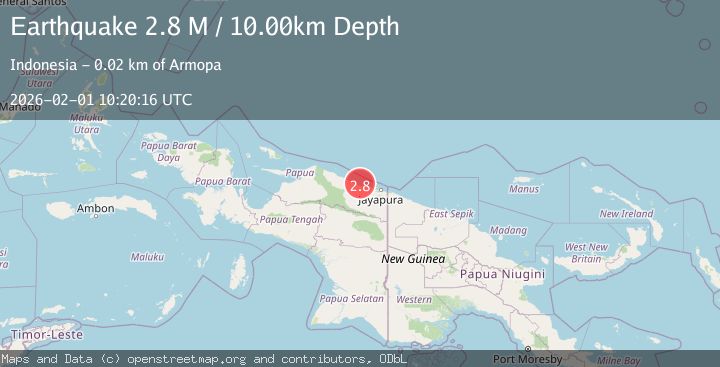
Earthquake Near North Coast of West Papua
Sun, 01 Feb 2026 10:20:16 GMT
Time3 days ago
Location
-2.2832, 139.8097
Depth
10.0 KM
Event Summary
A 2.8 magnitude earthquake struck on Near North Coast of West Papua, at Sun, 01 Feb 2026 10:20:16 GMT. Depth: 10km. Reviewed by BMKG seismologists, this minor quake occurred at a magnitude type of M.
Magnitude
2.8
M
Source
BMKG
Intensity
-
Agency Reports
1 Sources| Source | Magnitude | Depth | Time |
|---|---|---|---|
| BMKGPrimary | 2.8 | 10 km | 3 days ago |
Earthquake Details
AutomaticEvent IDbmg2026cflb
Tsunami PotentialNo
Magnitude TypeM
Nearest Places
- Teluk Walckenaer8.0 km
- Waiseron8.7 km
- Sungai Toarim10.2 km
- Sungai Poro10.3 km
- Tanjung Sekarian10.4 km
Comments
Join the discussion about this event.
Latest Earthquakes
2.9Mag
Northern Molucca Sea
Time4 hours ago
Depth26.98 km
SourceBMKG (Automatic)
1.5Mag
13 km NNW of Sutcliffe, Nevada
Time4 hours ago
Depth7.82 km
SourceUSGS (Automatic)
3.0Mag
Off West Coast of Northern Sumatra
Time4 hours ago
Depth51.70 km
SourceBMKG (Automatic)
2.4Mag
NORTHERN CALIFORNIA
Time4 hours ago
Depth27.00 km
SourceNC (Automatic)
1.8Mag
4 km ESE of San Ramon, CA
Time4 hours ago
Depth4.41 km
SourceUSGS (Automatic)
Nearby Earthquakes
2.6Mag
Near North Coast of West Papua
Time6 days ago
Depth18.57 km
SourceBMKG (Automatic)
2.2Mag
Near North Coast of West Papua
Time1 week ago
Depth10.00 km
SourceBMKG (Automatic)
2.3Mag
Near North Coast of West Papua
Time1 day ago
Depth21.38 km
SourceBMKG (Automatic)
2.7Mag
Near North Coast of West Papua
Time4 days ago
Depth22.48 km
SourceBMKG (Automatic)
3.2Mag
Near North Coast of West Papua
Time5 days ago
Depth10.00 km
SourceBMKG (Automatic)