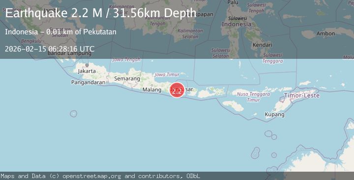
Earthquake Bali Region, Indonesia
Sun, 15 Feb 2026 06:28:16 GMT
Time3 days ago
Location
-8.3951, 114.8973
Depth
31.6 KM
Event Summary
A 2.2 magnitude earthquake struck on Bali Region, Indonesia, at Sun, 15 Feb 2026 06:28:16 GMT. Depth: 31.559305km. Reviewed by BMKG seismologists, this minor quake occurred at a magnitude type of M.
Magnitude
2.2
M
Source
BMKG
Intensity
-
Agency Reports
1 Sources| Source | Magnitude | Depth | Time |
|---|---|---|---|
| BMKGPrimary | 2.2 | 32 km | 3 days ago |
Earthquake Details
ManualEvent IDbmg2026desl
Tsunami PotentialNo
Magnitude TypeM
Nearest Places
- Yuwukmanis Kelod0.5 km
- Yuwukmanis Kaja0.9 km
- Tukad Merangsang1.3 km
- Desa Manggissari1.6 km
- Pangkung Panes2.1 km
Comments
Join the discussion about this event.
Latest Earthquakes
1.0Mag
Southeastern Alaska
Time6 hours ago
Depth0.00 km
SourceVYT (Automatic)
1.9Mag
4 km NNW of The Geysers, CA
Time6 hours ago
Depth2.14 km
SourceUSGS (Automatic)
2.3Mag
Tarapaca, Chile
Time6 hours ago
Depth114.14 km
SourceVYT (Automatic)
2.1Mag
Southern Alaska
Time6 hours ago
Depth67.26 km
SourceVYT (Automatic)
2.2Mag
western Russia
Time6 hours ago
Depth0.00 km
SourceVYT (Automatic)
Nearby Earthquakes
3.0Mag
BALI REGION, INDONESIA
Time5 years ago
Depth10.00 km
SourceDJA (Automatic)
3.0Mag
BALI REGION, INDONESIA
Time1 year ago
Depth13.00 km
SourceBMKG (Automatic)
3.0Mag
BALI REGION, INDONESIA
Time3 years ago
Depth237.00 km
SourceDJA (Automatic)
2.5Mag
Bali Region, Indonesia
Time1 week ago
Depth7.62 km
SourceBMKG (Automatic)
2.5Mag
Bali Region, Indonesia
Time0 months ago
Depth90.70 km
SourceBMKG (Automatic)