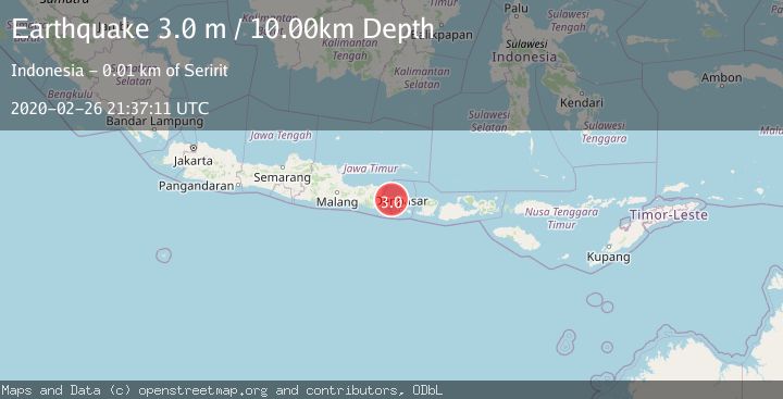
Earthquake BALI REGION, INDONESIA
Wed, 26 Feb 2020 21:37:11 GMT
Time5 years ago
Location
-8.2700, 114.8500
Depth
10.0 KM
Event Summary
A 3.0 magnitude earthquake struck on BALI REGION, INDONESIA, at Wed, 26 Feb 2020 21:37:11 GMT. Depth: 10km. Reviewed by DJA seismologists, this minor quake occurred at a magnitude type of m.
Magnitude
3.0
m
Source
DJA
Intensity
-
Agency Reports
1 Sources| Source | Magnitude | Depth | Time |
|---|---|---|---|
| DJAPrimary | 3.0 | 10 km | 5 years ago |
Earthquake Details
AutomaticEvent IDemsc_DJA_20200226_0000178
Tsunami PotentialNo
Magnitude Typem
Nearest Places
- Gunung Bajra1.8 km
- Desa Tinga-Tinga2.1 km
- Desa Tukadsumaga2.2 km
- Munduk Lemo3.0 km
- Gunung Patas3.7 km
Comments
Join the discussion about this event.
Latest Earthquakes
2.1Mag
Sumbawa Region, Indonesia
Time2 hours ago
Depth10.00 km
SourceBMKG
3.2Mag
SOUTH ISLAND OF NEW ZEALAND
Time2 hours ago
Depth11.90 km
SourceGNS (Automatic)
2.6Mag
Antofagasta, Chile
Time2 hours ago
Depth67.26 km
SourceVYT (Automatic)
1.8Mag
northern Alaska
Time2 hours ago
Depth223.88 km
SourceVYT (Automatic)
3.0Mag
Java, Indonesia
Time2 hours ago
Depth29.90 km
SourceBMKG
Nearby Earthquakes
3.0Mag
BALI REGION, INDONESIA
Time1 year ago
Depth13.00 km
SourceBMKG (Automatic)
5.2Mag
BALI REGION, INDONESIA
Time6 years ago
Depth10.00 km
SourceEMSC (Automatic)
2.2Mag
Bali Region, Indonesia
Time3 days ago
Depth31.56 km
SourceBMKG
3.0Mag
BALI REGION, INDONESIA
Time3 years ago
Depth237.00 km
SourceDJA (Automatic)
2.5Mag
Bali Region, Indonesia
Time1 week ago
Depth7.62 km
SourceBMKG (Automatic)