Earthquake Northern Sumatra, Indonesia
Sun, 15 Feb 2026 18:22:42 GMT
Time3 days ago
Location
4.1513, 97.3950
Depth
5.0 KM
Event Summary
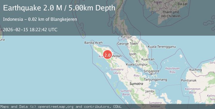
A 2.0 magnitude earthquake struck on Northern Sumatra, Indonesia, at Sun, 15 Feb 2026 18:22:42 GMT. Depth: 5km. Reviewed by BMKG seismologists, this minor quake occurred at a magnitude type of M.
Magnitude
2.0
M
Source
BMKG
Intensity
-
Agency Reports
1 Sources| Source | Magnitude | Depth | Time |
|---|---|---|---|
| BMKGPrimary | 2.0 | 5 km | 3 days ago |
Earthquake Details
ManualEvent IDbmg2026dfqb
Tsunami PotentialNo
Magnitude TypeM
Nearest Places
- Burni Pepelar1.4 km
- Van Daalen Mountains2.1 km
- Burni Apitan2.3 km
- Burni Siluman2.6 km
- Burni Ujemulu3.1 km
Comments
Join the discussion about this event.
Latest Earthquakes
2.1Mag
Southeastern Alaska
Time17 hours ago
Depth0.00 km
SourceVYT (Automatic)
1.3Mag
Southeastern Alaska
Time17 hours ago
Depth21.48 km
SourceVYT (Automatic)
1.3Mag
Western Australia
Time17 hours ago
Depth0.00 km
SourceVYT (Automatic)
2.4Mag
Northern Territory, Australia
Time17 hours ago
Depth708.13 km
SourceVYT (Automatic)
2.0Mag
WESTERN TURKEY
Time17 hours ago
Depth5.20 km
SourceKOERI (Automatic)
Nearby Earthquakes
2.8Mag
Northern Sumatra, Indonesia
Time5 days ago
Depth0.00 km
SourceBMKG
2.1Mag
northern Sumatra, Indonesia
Time3 days ago
Depth5.98 km
SourceVYT (Automatic)
3.0Mag
Northern Sumatra, Indonesia
Time2 weeks ago
Depth5.00 km
SourceBMKG (Automatic)
2.9Mag
Northern Sumatra, Indonesia
Time1 week ago
Depth1.00 km
SourceBMKG (Automatic)
2.9Mag
Northern Sumatra, Indonesia
Time1 week ago
Depth3.00 km
SourceBMKG (Automatic)