Earthquake West Papua Region, Indonesia
Mon, 16 Feb 2026 01:07:56 GMT
Time4 days ago
Location
-2.7335, 132.5008
Depth
141.7 KM
Event Summary
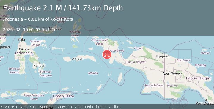
A 2.1 magnitude earthquake struck on West Papua Region, Indonesia, at Mon, 16 Feb 2026 01:07:56 GMT. Depth: 141.73291km. Reviewed by BMKG seismologists, this minor quake occurred at a magnitude type of M.
Magnitude
2.1
M
Source
BMKG
Intensity
-
Agency Reports
1 Sources| Source | Magnitude | Depth | Time |
|---|---|---|---|
| BMKGPrimary | 2.1 | 142 km | 4 days ago |
Earthquake Details
ManualEvent IDbmg2026dgdk
Tsunami PotentialNo
Magnitude TypeM
Nearest Places
- Kampung Kriawaswas1.8 km
- Gunung Kinam2.2 km
- Kinam2.4 km
- Kriawaswas2.4 km
- Sungai Kinam2.6 km
Comments
Join the discussion about this event.
Latest Earthquakes
3.6Mag
Southern Alaska
Time22 hours ago
Depth10.74 km
SourceVYT (Automatic)
4.0Mag
OFF COAST OF NORTHERN PERU
Time22 hours ago
Depth48.00 km
SourceLIM (Automatic)
3.2Mag
NEAR EAST COAST OF HONSHU, JAPAN
Time22 hours ago
Depth30.00 km
SourceJMA (Automatic)
3.9Mag
Mindanao, Philippines
Time22 hours ago
Depth92.77 km
SourceVYT
3.7Mag
Mindanao, Philippines
Time22 hours ago
Depth116.58 km
SourceVYT (Automatic)
Nearby Earthquakes
2.6Mag
PAPUA, INDONESIA
Time1 month ago
Depth31.00 km
SourceBMKG (Automatic)
2.6Mag
PAPUA, INDONESIA
Time1 month ago
Depth10.00 km
SourceBMKG (Automatic)
2.9Mag
West Papua Region, Indonesia
Time2 weeks ago
Depth16.58 km
SourceBMKG (Automatic)
2.6Mag
West Papua Region, Indonesia
Time1 week ago
Depth10.00 km
SourceBMKG (Automatic)
2.2Mag
West Papua Region, Indonesia
Time1 week ago
Depth146.08 km
SourceBMKG (Automatic)