Earthquake West Papua Region, Indonesia
Mon, 09 Feb 2026 22:27:08 GMT
Time1 hour ago
Location
-2.4360, 131.7914
Depth
146.1 KM
Event Summary
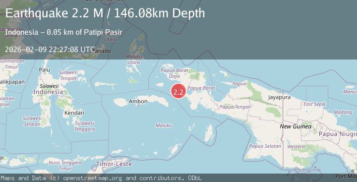
A 2.2 magnitude earthquake struck on West Papua Region, Indonesia, at Mon, 09 Feb 2026 22:27:08 GMT. Depth: 146.079361km. Reviewed by BMKG seismologists, this minor quake occurred at a magnitude type of M.
Magnitude
2.2
M
Source
BMKG
Intensity
-
Agency Reports
1 Sources| Source | Magnitude | Depth | Time |
|---|---|---|---|
| BMKGPrimary | 2.2 | 146 km | 1 hour ago |
Earthquake Details
AutomaticEvent IDbmg2026cuzb
Tsunami PotentialNo
Magnitude TypeM
Nearest Places
- Nusa Togoan24.6 km
- Nusa Geri26.5 km
- Pulau Emar26.9 km
- Pulau Tantaruga28.8 km
- Pulau Maraboi29.7 km
Comments
Join the discussion about this event.
Latest Earthquakes
1.7Mag
4 km S of Falls City, Texas
Time2 hours ago
Depth12.60 km
SourceUSGS (Automatic)
1.2Mag
12 km WSW of Stanton, Texas
Time2 hours ago
Depth4.02 km
SourceUSGS (Automatic)
1.6Mag
3 km E of San Ramon, CA
Time2 hours ago
Depth4.85 km
SourceUSGS (Automatic)
2.2Mag
Sumbawa Region, Indonesia
Time2 hours ago
Depth252.45 km
SourceBMKG (Automatic)
3.9Mag
Banda Sea
Time2 hours ago
Depth191.34 km
SourceBMKG (Automatic)
Nearby Earthquakes
2.6Mag
West Papua Region, Indonesia
Time2 weeks ago
Depth62.78 km
SourceBMKG (Automatic)
2.9Mag
West Papua Region, Indonesia
Time1 week ago
Depth16.58 km
SourceBMKG (Automatic)
3.0Mag
West Papua Region, Indonesia
Time1 week ago
Depth10.00 km
SourceBMKG (Automatic)
2.1Mag
West Papua Region, Indonesia
Time1 week ago
Depth10.00 km
SourceBMKG (Automatic)
3.7Mag
West Papua Region, Indonesia
Time1 week ago
Depth20.99 km
SourceBMKG (Automatic)