Earthquake West Papua Region, Indonesia
Sat, 31 Jan 2026 15:07:09 GMT
Time3 hours ago
Location
-3.2686, 132.3377
Depth
16.6 KM
Event Summary
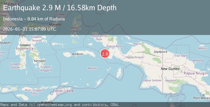
A 2.9 magnitude earthquake struck on West Papua Region, Indonesia, at Sat, 31 Jan 2026 15:07:09 GMT. Depth: 16.579174km. Reviewed by BMKG seismologists, this minor quake occurred at a magnitude type of M.
Magnitude
2.9
M
Source
BMKG
Intensity
-
Agency Reports
1 Sources| Source | Magnitude | Depth | Time |
|---|---|---|---|
| BMKGPrimary | 2.9 | 17 km | 3 hours ago |
Earthquake Details
AutomaticEvent IDbmg2026cdza
Tsunami PotentialNo
Magnitude TypeM
Nearest Places
- Krobet19.9 km
- Tanjung Tubokmatan22.1 km
- Kayon22.5 km
- Pulau Kawanawa23.0 km
- Kampung Urat23.6 km
Comments
Join the discussion about this event.
Latest Earthquakes
2.7Mag
Java, Indonesia
Time3 hours ago
Depth10.00 km
SourceBMKG (Automatic)
2.5Mag
West Papua Region, Indonesia
Time3 hours ago
Depth48.56 km
SourceBMKG (Automatic)
0.6Mag
11 km S of Idyllwild, CA
Time3 hours ago
Depth15.10 km
SourceUSGS (Automatic)
2.2Mag
61 km E of Pedro Bay, Alaska
Time3 hours ago
Depth102.90 km
SourceUSGS (Automatic)
3.3Mag
Southwest of Sumatra, Indonesia
Time3 hours ago
Depth10.00 km
SourceBMKG (Automatic)
Nearby Earthquakes
2.6Mag
West Papua Region, Indonesia
Time1 week ago
Depth62.78 km
SourceBMKG (Automatic)
3.1Mag
West Papua Region, Indonesia
Time1 week ago
Depth10.00 km
SourceBMKG (Automatic)
3.7Mag
West Papua Region, Indonesia
Time2 days ago
Depth20.99 km
SourceBMKG (Automatic)
3.0Mag
West Papua Region, Indonesia
Time16 hours ago
Depth10.00 km
SourceBMKG (Automatic)
2.9Mag
West Papua Region, Indonesia
Time4 days ago
Depth83.86 km
SourceBMKG (Automatic)