Earthquake Sumba Region, Indonesia
Sat, 14 Feb 2026 21:17:27 GMT
Time4 days ago
Location
-9.2737, 120.2134
Depth
70.5 KM
Event Summary
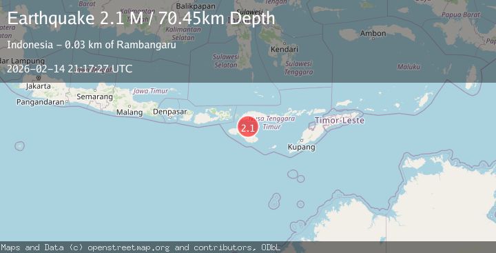
A 2.1 magnitude earthquake struck on Sumba Region, Indonesia, at Sat, 14 Feb 2026 21:17:27 GMT. Depth: 70.452255km. Reviewed by BMKG seismologists, this minor quake occurred at a magnitude type of M.
Magnitude
2.1
M
Source
BMKG
Intensity
-
Agency Reports
1 Sources| Source | Magnitude | Depth | Time |
|---|---|---|---|
| BMKGPrimary | 2.1 | 70 km | 4 days ago |
Earthquake Details
ManualEvent IDbmg2026deai
Tsunami PotentialNo
Magnitude TypeM
Nearest Places
- Tanjung Laundi22.1 km
- Tanjung Ngaruruhu22.6 km
- Tanjung Pambutuwitjukarambua24.0 km
- Paluhu24.2 km
- Luku Laramahi24.3 km
Comments
Join the discussion about this event.
Latest Earthquakes
0.7Mag
Southern Alaska
Time1 hour ago
Depth0.00 km
SourceVYT (Automatic)
2.4Mag
Minahassa Peninsula, Sulawesi
Time1 hour ago
Depth9.93 km
SourceBMKG
0.9Mag
13 km E of Coso Junction, CA
Time1 hour ago
Depth1.49 km
SourceUSGS (Automatic)
1.6Mag
Southern Alaska
Time1 hour ago
Depth25.15 km
SourceVYT (Automatic)
1.7Mag
Czech Republic
Time1 hour ago
Depth0.00 km
SourceVYT (Automatic)
Nearby Earthquakes
4.0Mag
SUMBA REGION, INDONESIA
Time6 years ago
Depth18.00 km
SourceDJA (Automatic)
2.6Mag
SUMBA REGION, INDONESIA
Time1 month ago
Depth15.00 km
SourceBMKG (Automatic)
2.1Mag
Sumba Region, Indonesia
Time3 days ago
Depth52.06 km
SourceBMKG
3.0Mag
SUMBA REGION, INDONESIA
Time2 years ago
Depth12.00 km
SourceDJA (Automatic)
2.3Mag
Sumba Region, Indonesia
Time1 week ago
Depth49.56 km
SourceBMKG (Automatic)