Earthquake Minahassa Peninsula, Sulawesi
Thu, 19 Feb 2026 22:43:06 GMT
Time1 hour ago
Location
-0.0607, 123.3088
Depth
139.1 KM
Event Summary
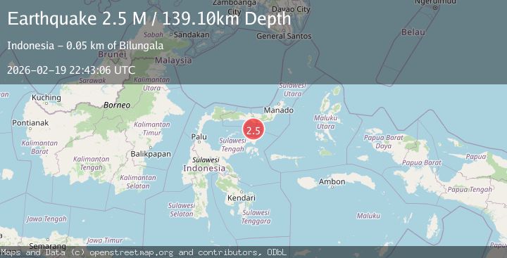
A 2.5 magnitude earthquake struck on Minahassa Peninsula, Sulawesi, at Thu, 19 Feb 2026 22:43:06 GMT. Depth: 139.102798km. Reviewed by BMKG seismologists, this minor quake occurred at a magnitude type of M.
Magnitude
2.5
M
Source
BMKG
Intensity
-
Agency Reports
1 Sources| Source | Magnitude | Depth | Time |
|---|---|---|---|
| BMKGPrimary | 2.5 | 139 km | 1 hour ago |
Earthquake Details
ManualEvent IDbmg2026dngq
Tsunami PotentialNo
Magnitude TypeM
Nearest Places
- Tombalilatu40.6 km
- Wulungiyo Tonala41.0 km
- Dutula Tombulilato41.3 km
- Tonala Timur41.3 km
- Tonala Barat41.4 km
Comments
Join the discussion about this event.
Latest Earthquakes
2.8Mag
Southern Alaska
Time1 hour ago
Depth14.04 km
SourceVYT (Automatic)
2.4Mag
Southern Alaska
Time1 hour ago
Depth139.28 km
SourceVYT (Automatic)
1.3Mag
3 km NNE of Moreno Valley, CA
Time1 hour ago
Depth17.92 km
SourceUSGS (Automatic)
1.6Mag
30 km NW of Toyah, Texas
Time1 hour ago
Depth4.48 km
SourceUSGS (Automatic)
1.5Mag
Southern Yukon Territory, Canada
Time2 hours ago
Depth3.42 km
SourceVYT (Automatic)
Nearby Earthquakes
3.0Mag
SULAWESI, INDONESIA
Time2 years ago
Depth130.00 km
SourceBMKG (Automatic)
2.4Mag
Minahassa Peninsula, Sulawesi
Time3 weeks ago
Depth131.42 km
SourceBMKG (Automatic)
2.6Mag
Minahassa Peninsula, Sulawesi
Time3 weeks ago
Depth118.00 km
SourceBMKG (Automatic)
3.0Mag
Minahassa Peninsula, Sulawesi
Time3 days ago
Depth141.63 km
SourceBMKG
5.0Mag
SULAWESI, INDONESIA
Time16 years ago
Depth147.00 km
SourceEMSC (Automatic)