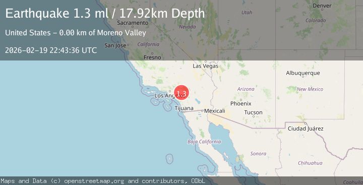
Earthquake 3 km NNE of Moreno Valley, CA
Thu, 19 Feb 2026 22:43:36 GMT
Time1 hour ago
Location
33.9457, -117.2140
Depth
17.9 KM
Event Summary
A 1.3 magnitude earthquake struck on 3 km NNE of Moreno Valley, CA, at Thu, 19 Feb 2026 22:43:36 GMT. Depth: 17.92km. Reviewed by USGS seismologists, this minor quake occurred at a magnitude type of ml.
Magnitude
1.3
ml
Source
USGS
Intensity
-
Agency Reports
1 Sources| Source | Magnitude | Depth | Time |
|---|---|---|---|
| USGSPrimary | 1.3 | 18 km | 1 hour ago |
Earthquake Details
AutomaticEvent IDusgs_ci41400160
Tsunami PotentialNo
Magnitude Typeml
Nearest Places
Comments
Join the discussion about this event.
Latest Earthquakes
2.8Mag
Germany-Czech Republic border region
Time4 minutes ago
Depth0.00 km
SourceVYT (Automatic)
3.9Mag
Molucca Sea
Time5 minutes ago
Depth0.00 km
SourceVYT (Automatic)
3.4Mag
Kenai Peninsula, Alaska
Time6 minutes ago
Depth38.57 km
SourceVYT (Automatic)
1.7Mag
Southern Yukon Territory, Canada
Time15 minutes ago
Depth10.13 km
SourceVYT (Automatic)
1.8Mag
Central Alaska
Time16 minutes ago
Depth2.32 km
SourceVYT (Automatic)
Nearby Earthquakes
2.7Mag
GREATER LOS ANGELES AREA, CALIF.
Time1 month ago
Depth15.60 km
SourceNEIC (Automatic)
1.2Mag
5 km N of Moreno Valley, CA
Time1 week ago
Depth13.11 km
SourceUSGS (Automatic)
1.2Mag
7 km SSW of Redlands, CA
Time2 weeks ago
Depth9.35 km
SourceUSGS (Automatic)
1.0Mag
6 km SSW of Redlands, CA
Time20 hours ago
Depth10.39 km
SourceUSGS (Automatic)
0.7Mag
3 km SSE of Loma Linda, CA
Time2 weeks ago
Depth2.82 km
SourceUSGS (Automatic)