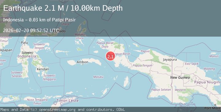
Earthquake West Papua Region, Indonesia
Fri, 20 Feb 2026 09:52:52 GMT
Time1 hour ago
Location
-2.4652, 132.2006
Depth
10.0 KM
Event Summary
A 2.1 magnitude earthquake struck on West Papua Region, Indonesia, at Fri, 20 Feb 2026 09:52:52 GMT. Depth: 10km. Reviewed by BMKG seismologists, this minor quake occurred at a magnitude type of M.
Magnitude
2.1
M
Source
BMKG
Intensity
-
Agency Reports
1 Sources| Source | Magnitude | Depth | Time |
|---|---|---|---|
| BMKGPrimary | 2.1 | 10 km | 1 hour ago |
Earthquake Details
ManualEvent IDbmg2026docs
Tsunami PotentialNo
Magnitude TypeM
Nearest Places
- Pulau Nustuari20.8 km
- Tanjung Mitimiti21.1 km
- Teluk Mitimiti21.3 km
- Tanjung Genuni21.8 km
- Teluk Genuni22.1 km
Comments
Join the discussion about this event.
Latest Earthquakes
2.4Mag
Finland-Russia border region
Time1 hour ago
Depth0.00 km
SourceVYT (Automatic)
0.7Mag
British Columbia, Canada
Time1 hour ago
Depth6.10 km
SourceVYT (Automatic)
1.7Mag
Southern California
Time1 hour ago
Depth26.12 km
SourceVYT (Automatic)
1.6Mag
Southern California
Time1 hour ago
Depth13.43 km
SourceVYT (Automatic)
3.1Mag
Tarapaca, Chile
Time1 hour ago
Depth112.30 km
SourceVYT (Automatic)
Nearby Earthquakes
2.1Mag
West Papua Region, Indonesia
Time4 days ago
Depth141.73 km
SourceBMKG
2.2Mag
West Papua Region, Indonesia
Time1 week ago
Depth146.08 km
SourceBMKG (Automatic)
2.6Mag
PAPUA, INDONESIA
Time1 month ago
Depth31.00 km
SourceBMKG (Automatic)
5.6Mag
PAPUA, INDONESIA
Time9 years ago
Depth14.00 km
SourceDJA (Automatic)
2.9Mag
West Papua Region, Indonesia
Time2 weeks ago
Depth16.58 km
SourceBMKG (Automatic)