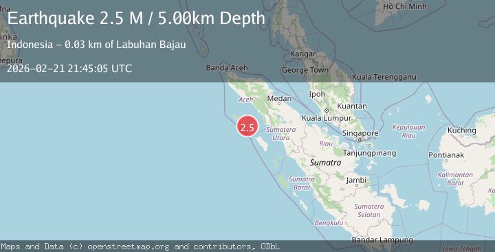
Earthquake Northern Sumatra, Indonesia
Sat, 21 Feb 2026 21:45:05 GMT
Time1 hour ago
Location
2.1589, 96.6394
Depth
5.0 KM
Event Summary
A 2.5 magnitude earthquake struck on Northern Sumatra, Indonesia, at Sat, 21 Feb 2026 21:45:05 GMT. Depth: 5km. Reviewed by BMKG seismologists, this minor quake occurred at a magnitude type of M.
Magnitude
2.5
M
Source
BMKG
Intensity
-
Agency Reports
1 Sources| Source | Magnitude | Depth | Time |
|---|---|---|---|
| BMKGPrimary | 2.5 | 5 km | 1 hour ago |
Earthquake Details
ManualEvent IDbmg2026dqvs
Tsunami PotentialNo
Magnitude TypeM
Nearest Places
- 1.0 km
- 2.8 km
- 6.9 km
- 7.3 km
- 7.6 km
Comments
Join the discussion about this event.
Latest Earthquakes
0.3Mag
6 km WNW of The Geysers, CA
Time1 hour ago
Depth6.69 km
SourceUSGS (Automatic)
2.2Mag
Tarapaca, Chile
Time1 hour ago
Depth91.31 km
SourceVYT (Automatic)
2.9Mag
West Papua Region, Indonesia
Time1 hour ago
Depth8.76 km
SourceBMKG
1.4Mag
5 km NNW of The Geysers, CA
Time1 hour ago
Depth0.95 km
SourceUSGS (Automatic)
2.6Mag
Southern Alaska
Time1 hour ago
Depth60.55 km
SourceVYT (Automatic)
Nearby Earthquakes
3.0Mag
SIMEULUE, INDONESIA
Time8 months ago
Depth11.00 km
SourceBMKG (Automatic)
5.3Mag
SIMEULUE, INDONESIA
Time10 years ago
Depth10.00 km
SourceEMSC (Automatic)
5.3Mag
SIMEULUE, INDONESIA
Time12 years ago
Depth6.00 km
SourceEMSC (Automatic)
5.1Mag
SIMEULUE, INDONESIA
Time19 years ago
Depth40.00 km
SourceEMSC (Automatic)
5.2Mag
SIMEULUE, INDONESIA
Time19 years ago
Depth30.00 km
SourceEMSC (Automatic)